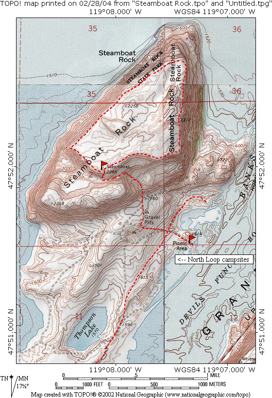
Steamboat Rock
Season: All Year
Difficulty: 3/5
Directions
From the Grand Coulee Dam area of north-central Washington, drive south about 12 miles along State Route 155. Turn off to the right (west) at Steamboat Rock State Park. Use the "Day Use" parking area all the way at the end of the road.Trail Description
The trail starts off as a wide, graveled path to the base of the "Rock." Then, it gets really steep and narrow up the notch carved out of the eastern face. If you're in shape, you can blow up past the loose rocks and be on the top in 20 minutes.
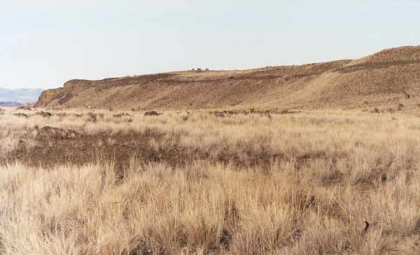
The summit has sagebrush, and is totally open for cross-country travel. I saw a herd of about 50 mule deer on the north end, but they kept their distance at about 200 yards away.
The total elevation rise is 700 feet (from 1600 ft to 2300 ft). As you hike along the outer rim of the Rock, you can peer down at a 70-degree angle at the waters of Banks Lake. The North Cascades are visible on the western horizon. When I was there at 5 PM on a warm March day, there was no wind and the water was like glass.
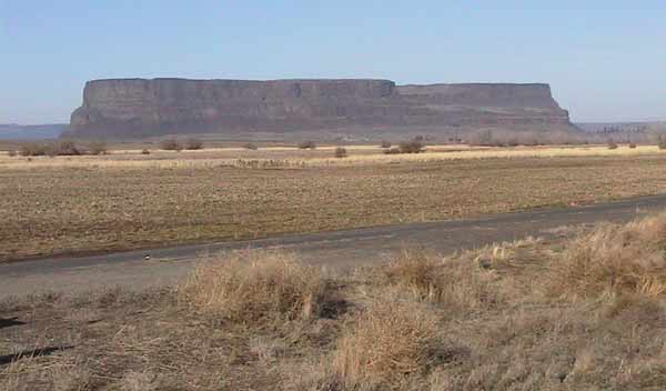
Travelling back DOWN is tricky. The loose basalt boulders on the trail makes for tricky footing. Luckily, I had a pair of trekking poles to keep my balance. It takes longer to get down than to climb this Rock. This is a nice, quick hike with fantastic views of the "Grand Coulee" (a huge canyon carved by Ice Age floods).
Consider hiking the nearby Northrup Canyon Trail (NE of Steamboat Rock, at Mile Marker 19 on Hwy 155).
.jpg)
.jpg)