North Oregon Cascades

Ramona Falls

Length: 7.5 **mileage is round trip miles
Low Point: 2400'
High Point: 3400'
Season: Spring/Summer/Fall
Scenery: 4/5

Difficulty: 2.38/5

Submitted by: Joe Swank

Directions

Take Highway 26 from Portalnd until you reach Zigzag. Here take a left onto Hwy 18 (Lolo pass).
Follow this 4.5 miles until you reach a turn for Muddy Fork road. There is a sign that indicates trailheads and campgrounds. Basically you follow this road to its end at the Ramona Falls Trail Head, which is well signed once you leave Lolo Pass.

Trail Description

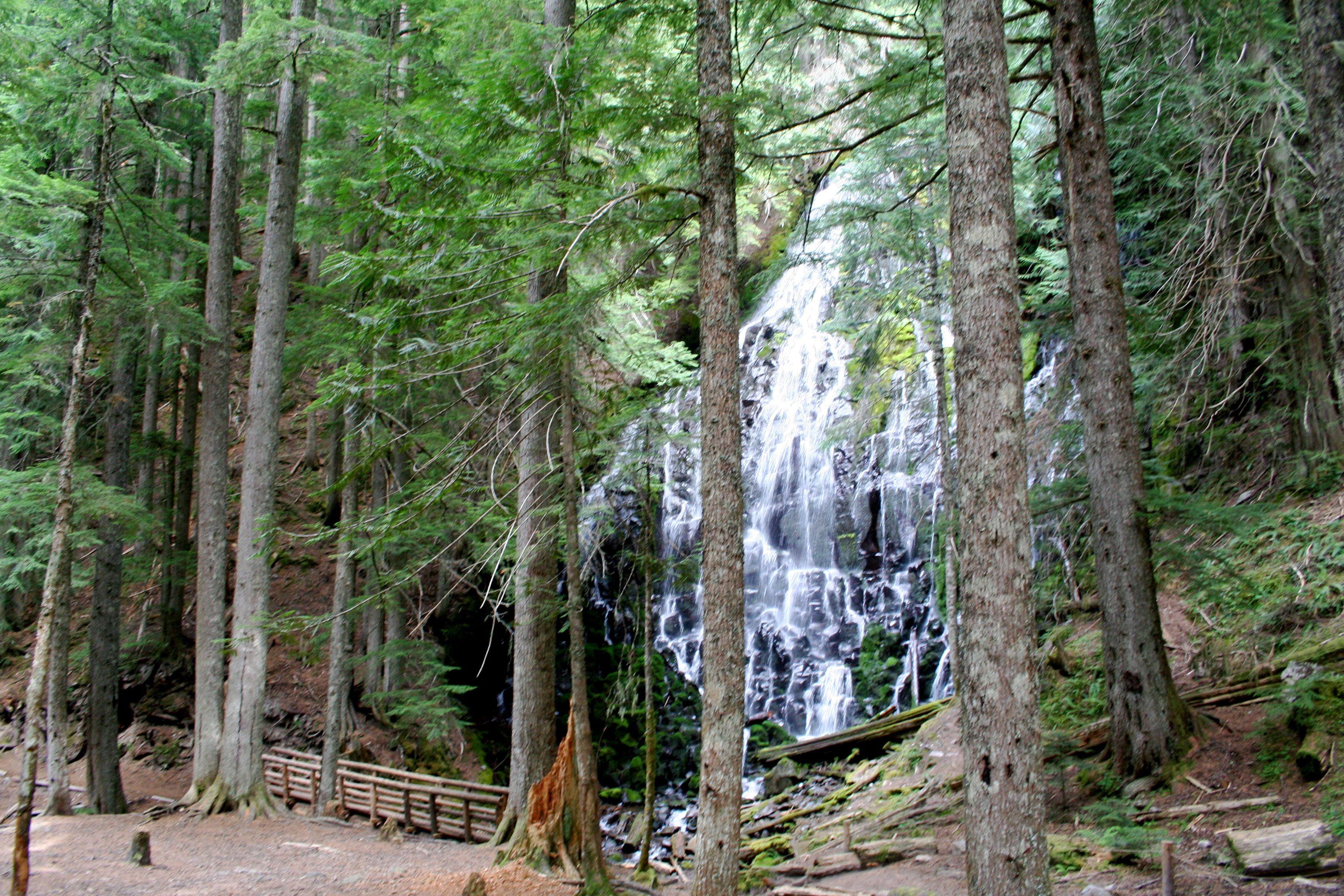
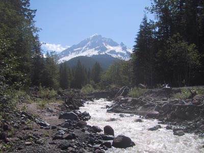
This is a nice easy trail that takes you a short distance up the Sandy River Valley at is headwaters. It has a nice gradual elevation gain and is quite managable for anybody.
There are a few great views of Mount Hood on the way up as well as nice forests.
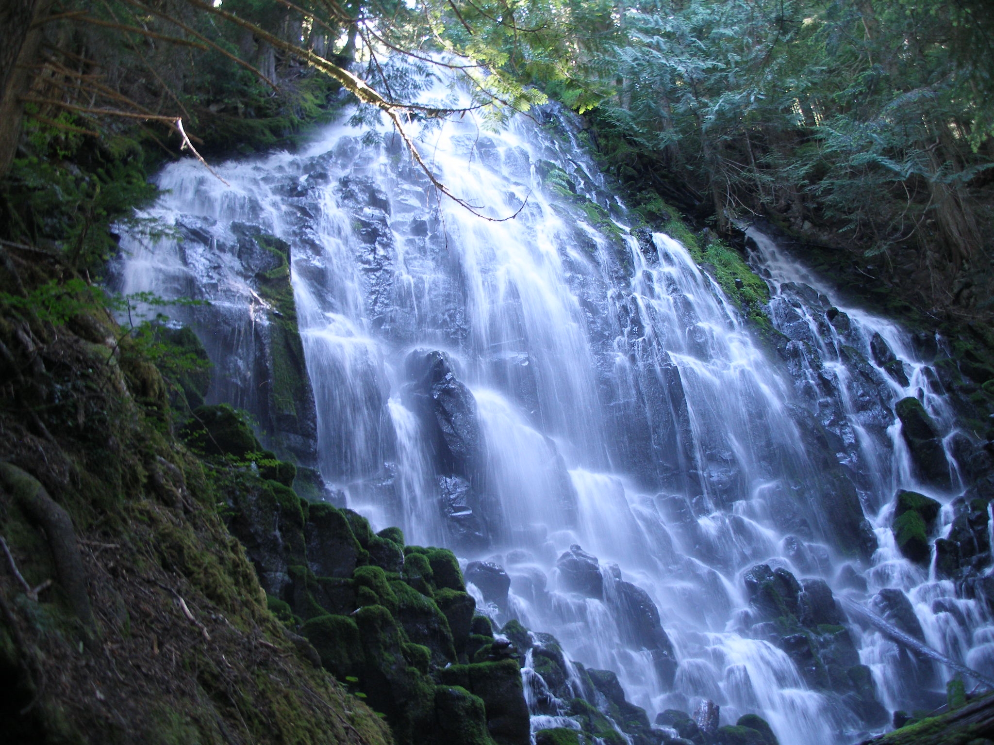
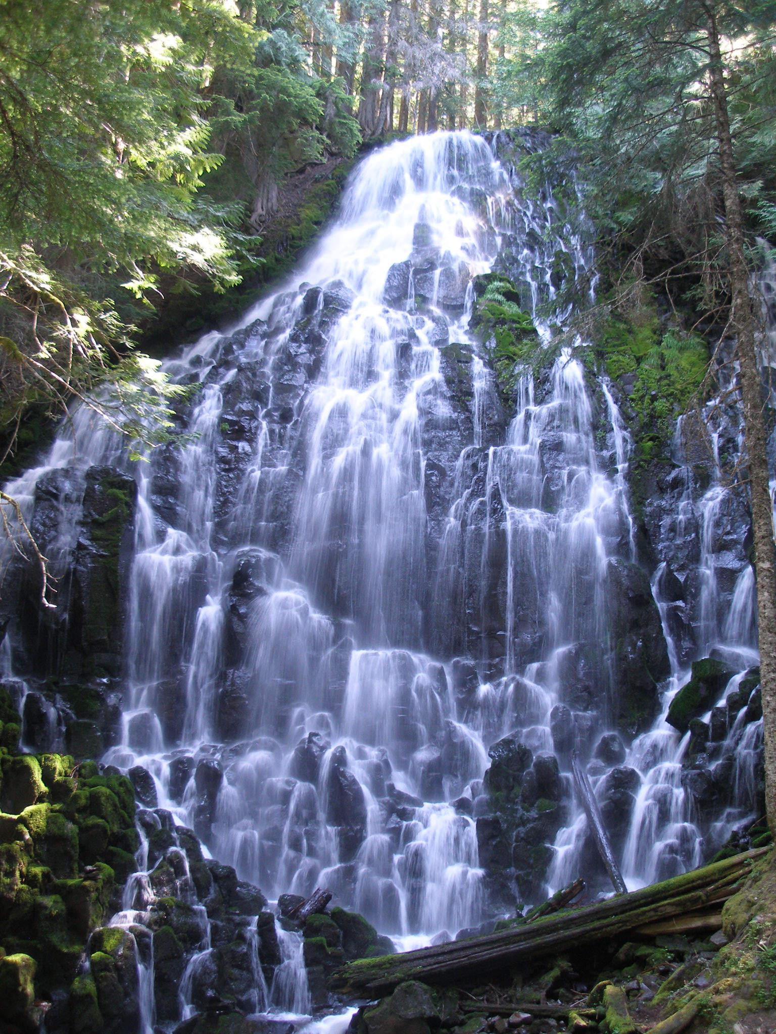
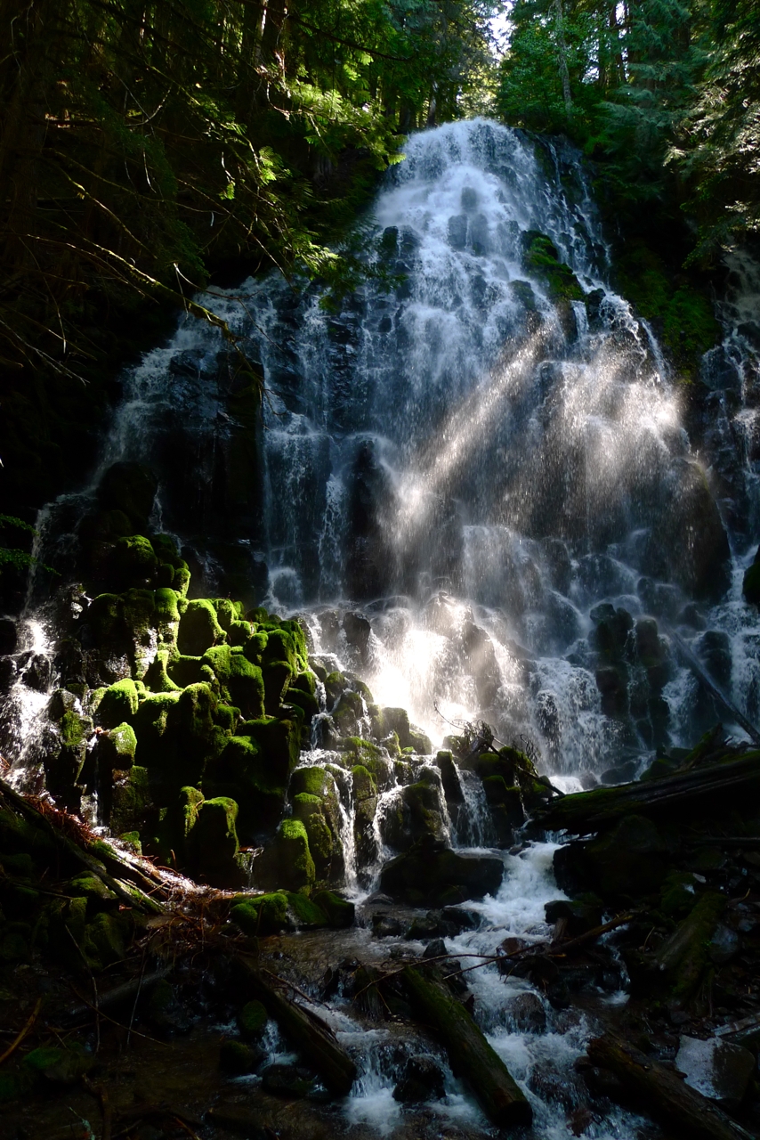
The destination however is Ramona Falls, which is an amazing spectacle within itself.
It is a sprawling wall of water that takes you by surpise as you wander up Ramona Creek.
The trail has several junctions as well as multiple routes up. We Chose to take the southern route, or horse trail, up to the falls and then the hiker only trail down. Definitely bring a map as the trail forks with the PCT several times.
There are also several possibilities of connecting this trail to others in the area to make a nice backpack or a longer day hike.
All in all it is a great trail with a spectacular waterfall!

Comments

This is a nice hike, but it can feel long by the end on a hot day. It is only "easy" if your condition and experience allow it to be. If you're used to hardcore hiking, this will be no problem. If you're tagging the family along and it's hot, be prepared for some whining. As of July 09, there is no sign indicating where to turn off Lolo Pass Rd to reach Muddy Fork Rd., and we only found Muddy Fork via GPS, off an unmarked road that appeared to lead to a campground of sorts, also poorly marked. While there may have been a sign sometime in the past indicating the direction to the trailhead when the road forks, there is none now. Bottomed out the car several times on a fork reminiscent of "Moon Patrol", which of course was the wrong fork. After you drive into the unmarked "campground", it's the LEFT fork that leads to the trailhead. As was mentioned by someone else previously, choose the LEFT (clockwise) part of the loop for a much nicer hike through typical northwest forest, as opposed to the less interesting, constant uphill of the (straight ahead) path, and you'll be on the steady downhill on your return. Also of note, big thanks to the person who has put up simple paper signs held up by rock piles along parts of the path, because sadly, there is precious little guidance at several parts of the trail. Another unfortunate example of a beautiful Oregon natural resource with pathetic signage. However, enjoy the falls, a worthwhile hike, taking into consideration the above.
2009-07-30 23:20:19
Zigzag ranger station said the bridge re-opened today.
2007-10-12 09:20:53
Zigzag ranger station said the bridge re-opened today.
2007-10-12 09:20:24
After leaving Lolo Pass Road there is a bridge that is washed out. This adds about a 2 mile hike on the road to reach the parking lot where the trail head is located. The trail has been washed out on the left side but it has been well blazed with blue tags.
2007-08-19 07:09:34
7.5 miles might seem long but it is very easy. Take the left trail on the loop, and you miss the section of rapid elivation gain, the return and you have a rapid decent, and then relitivly flat. Ogerboy, The Oregon Outdoor Adventure Syndicate
2005-06-30 10:09:52