South Washington Cascades

Siouxon Creek

Length: 16 **mileage is round trip miles
Low Point: 1200'
High Point: 3420'
Season: Spring/Summer/Fall
Scenery: 4.8/5

Difficulty: 2.4/5

Submitted by: Joe Swank

Directions

From I-5 take the Exit from Woodland toward Cougar on Hwy 503. Follow this road up the Lewis River Until the town of Yale. Here turn South on 503 toward Amboy. Before you hit Amboy in the Town of Chelatchie Turn East on NE Healy Rd. This Road turns into Forest RD 37. From here you take a left onto Forest Rd 57, and then a left again onto Forest Rd 5701. There are two Trailheads, one at the sharp switchback, and another at the end of the road.

Trail Description

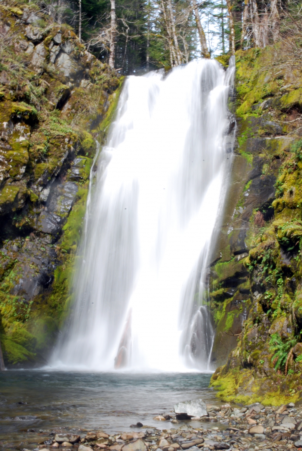
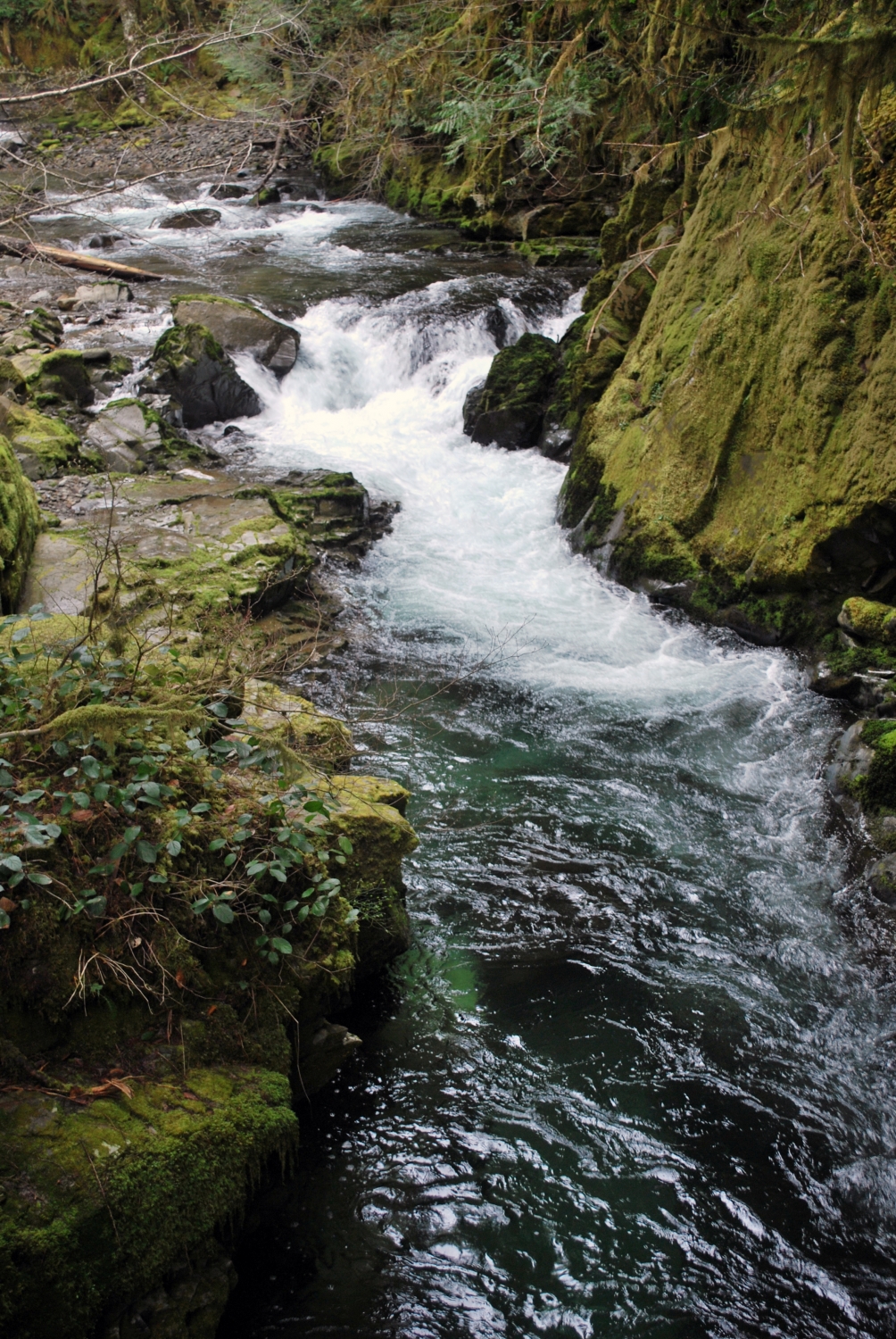
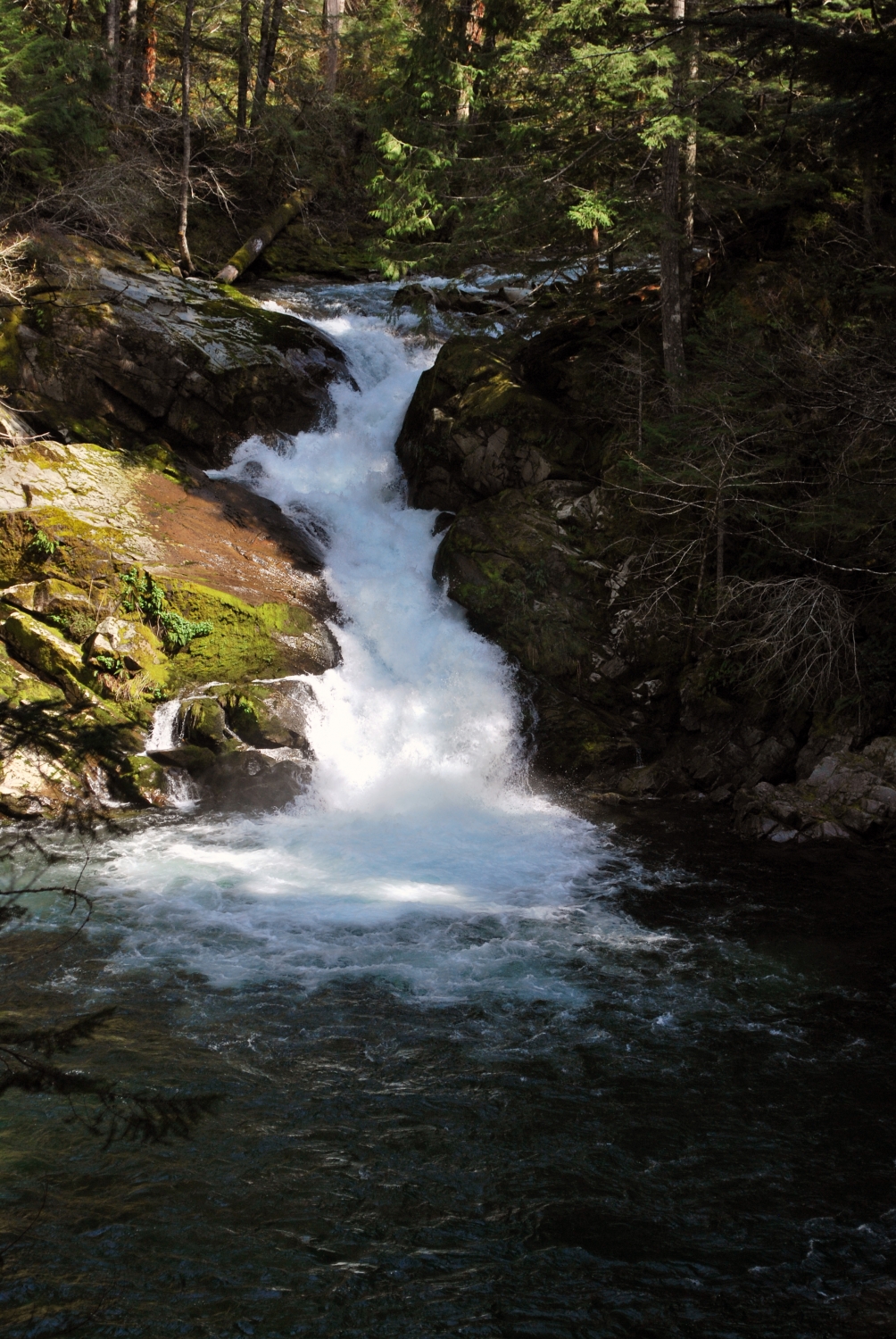
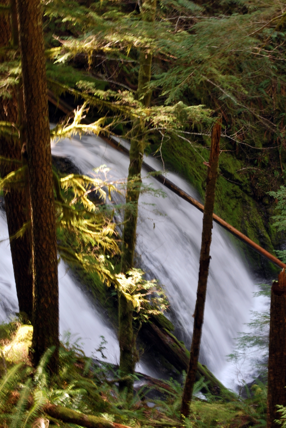
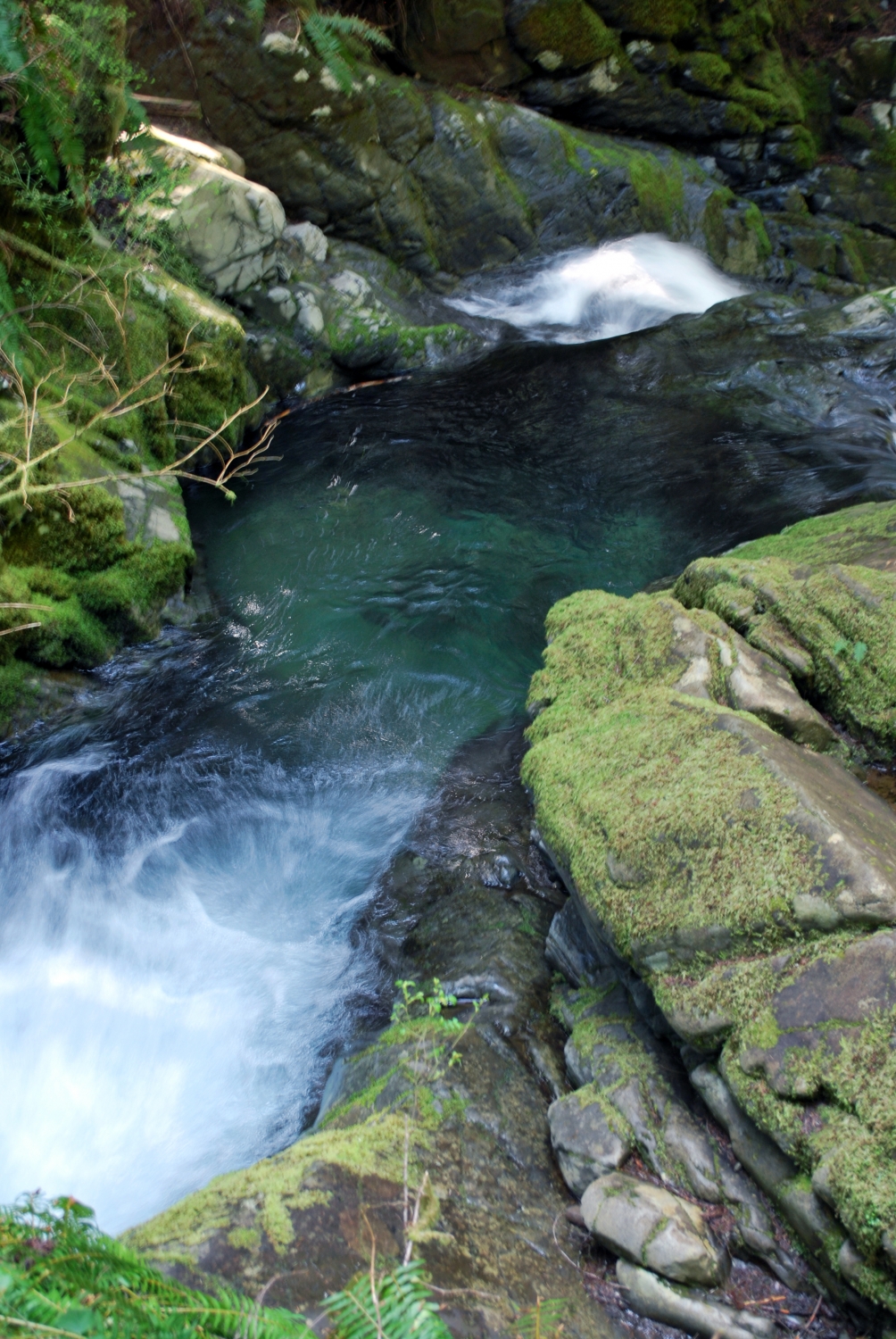
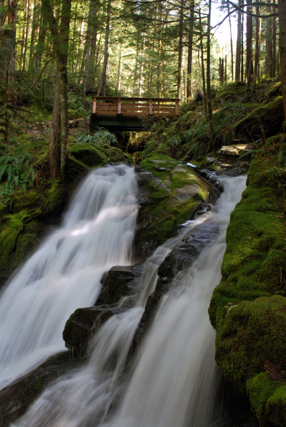
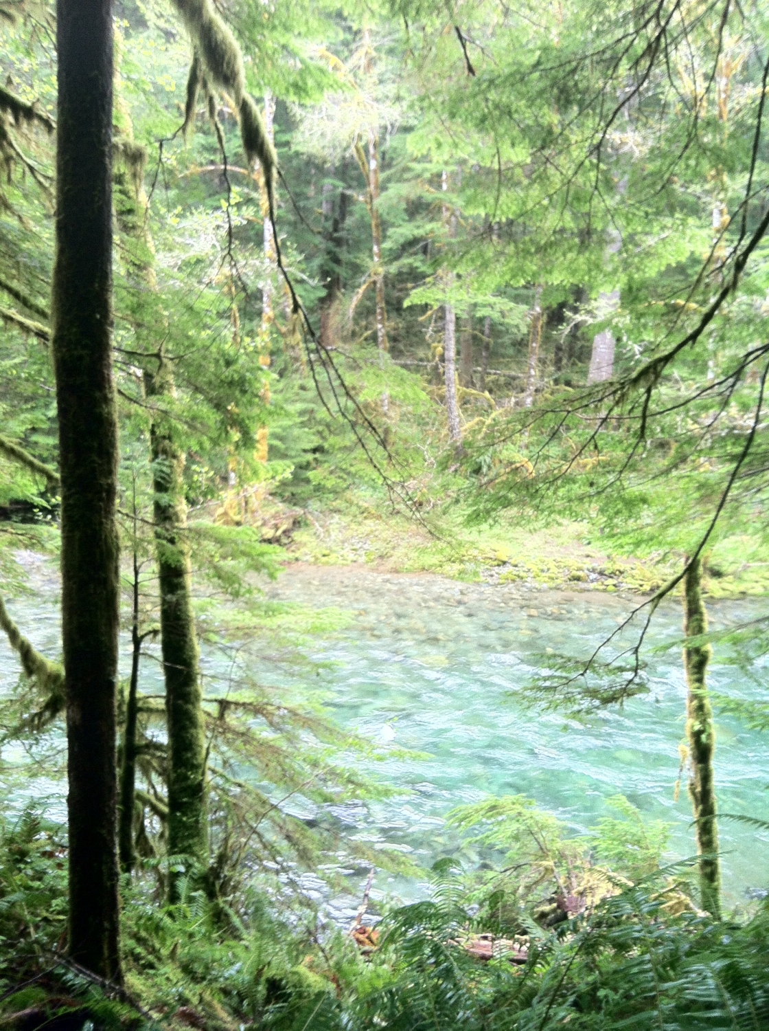
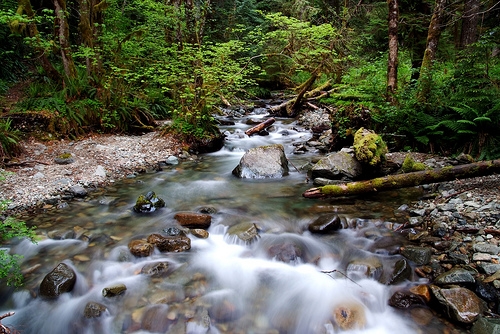
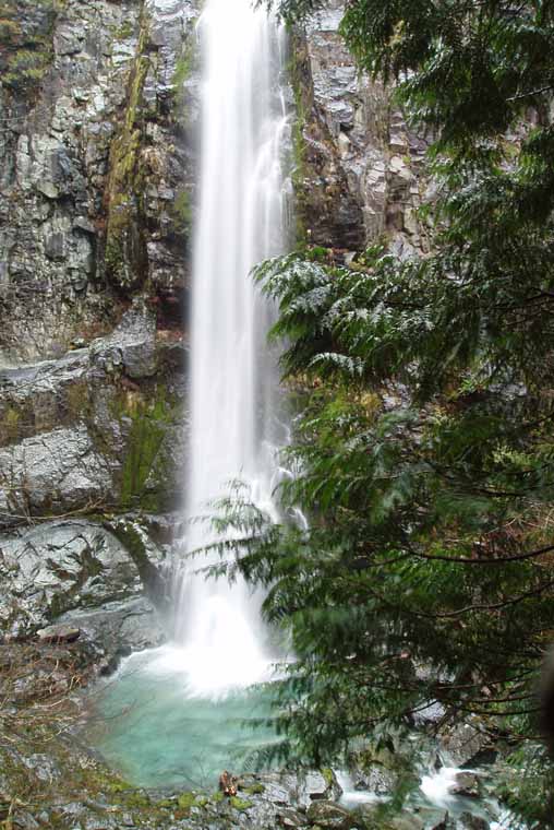
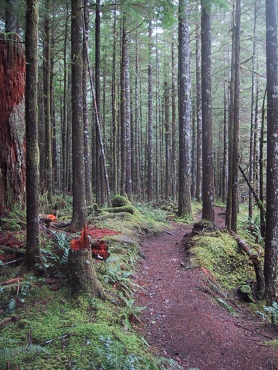
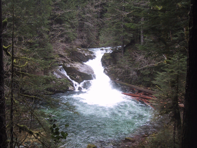
This is a fantastic creek bottom hike with numerous loop or longer extension options. The trail closely follows Siouxon Creek, which is full of great water features and excellent swimming holes.
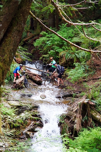
The hike we did started at the trailhead at the switchback, which is about 2.5 miles further back than the other trailhead. The trail from here quickly descends to the creek and follows it for about 1 mile before you come to a junction with the trail to Huffman Peak, located on the north side of the valley. We had intended to do this hike although once getting to the edge of the creek and realizing that there was no bridge reversed course and headed up further up the creek to Horseshoe Ridge. We did this hike in January, during a very low snow year and did not want to hike 15 more miles with soggy pants and sneakers. Keep this in mind if you plan on doing Huffman peak, the creek is quite large even in summer so be aware that there is a substantial creek crossing to access this trail on the west side.
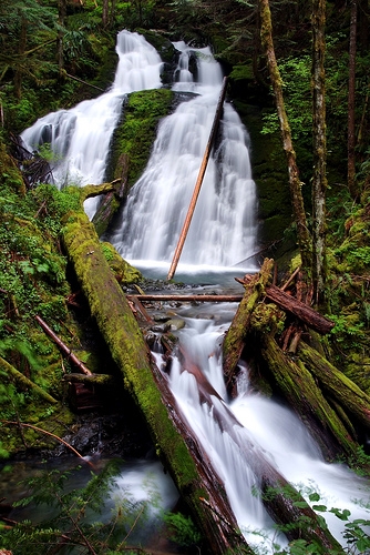
The trail continues up Siouxon Creek after the junction with Huffman peak until you hit the next junction with the lower trailhead at the end of forest rd 5701. This section of trail runs right up against the creek for the most part and is full of great campsites and swimming holes. 1 mile further and you reach the first junction to Horseshoe Ridge. We opted to take this trail down not up as it is substantially steeper than the other trail up the east side the ridge 2 miles further up Siouxon Creek. This side trip adds 6.5 miles, and offers some great views to the west once you are on top of the ridge.
The trail also continues up Siouxon Creek where there are some other great water features and some other possible loops. I have heard that it is quite crowded in the summer and also a popular mountain bike trail so keep those things in mind.

Comments

Leisurely walked in and out in a day. Heavy rain over the last week has made for beautiful and full waterfalls. There were parts of the trail that were in the direct path of the water attempting to reach Siouxon Creek (only deep enough to cover shoes though). Had to cross five tributaries but was able to jump from rock to rock enough that only my feet got soaked. I was unable to continue on to trail #140 to complete the loop because the width of the tributary at the #130A junction and the force of its water flow didn't allow for crossing; my dog isn't strong and stable enough to traverse on logs or jump from rock to rock. Many others with mountain bikes and four-legged companions successfully crossed this tributary. Tips: Walking stick will help with crossing tributaries. Extra socks, camp shoes and camera are a must!
2012-05-06 09:40:09
We backpacked along Siouxon Creek this week. Beautiful weather, we only saw 2 other couples the two days we were there. It's a nice easy hike if you stay on the trail that runs along the creek. We passed a couple campsites before we set up camp just before the trail to Wildcat Falls. Just remember if you're camping to start your fire early because everything is damp. It took us a good 2 hours to find wood and to get a nice warm fire going.
2007-06-15 12:57:37
Went on a hike here today. A section of the Forest Service road to get to the trail was being paved. Had to wait an hour before I could get to it. Attempted Horsehoe Ridge but it was too strenuous for me. I need to get in better shape before attempting it again. Beautiful scenery.
2006-10-02 19:16:09
This trail would be ideal to hit on a really hot day. Since most of what I've read has been written, the road signs have been replaced. Its pretty easy to find. There are multiple swimming holes and falls along the four miles we hiked east of the trail head. I can see how it would get crowded, but we really didn't see that many people, and it was mid-summer. Very easy trail until you hike up the ridge... Hiked the ridge up to Siouxon Peak. Found some old trees. There is a very sketchy part on the crest trail. Its on the big switchback just to the east of Siouxon Peak. A land slide(s) had taken the trail out. You can still get across, but the ground is very shifty and if you fall its going to be bad. Siouxon Peak is cool. There were come clouds for us, but on a clear day you'd have great veiws of St. Helens and Adams. There are some great views of second growth forest to the south. We layed our map out and placed all the lakes and peaks on paper with those in real life. You can really see a long way. If you decide to go up to Siouxon Peak, keep in mind that the Wildcat trail is very steep. It was even tough coming down. The Chinook trail was a good climb, but not quite as extreme as Wildcat. Wildcat falls is awesome.
2006-08-06 21:16:42
I was once thwarted in my attempt to get to this trail because of snow on the road at its highest point. I'd imagine that, in the less snowy years this trail is accessible year round. One further note on directions: My Green Trails map (which may have since been updated) has some old number for one of the roads. Follow the directions on this website and you'll get there. Even though I'd been there before, the erroneous numbers on the map sent me off into the wilderness for a long and frustrating drive.
2005-07-20 13:25:56
Went today with my wife and a friend.
Some tips on direction to get there:
NE Healy Rd in the Town of Chelatchie is located opposite the ranger station (there is a convenient store and a Texaco gas station at the T-junction) so you should keep your eye on it.
Once you are on NE Healy Rd, drive til you see a sign saying Forest Rd 54 and continue your drive into Forest Rd 54. It will lead you to Forest Rd 57.
I spent an hour trying to find the right direction today so hopefully people will be able to get there easily next time.
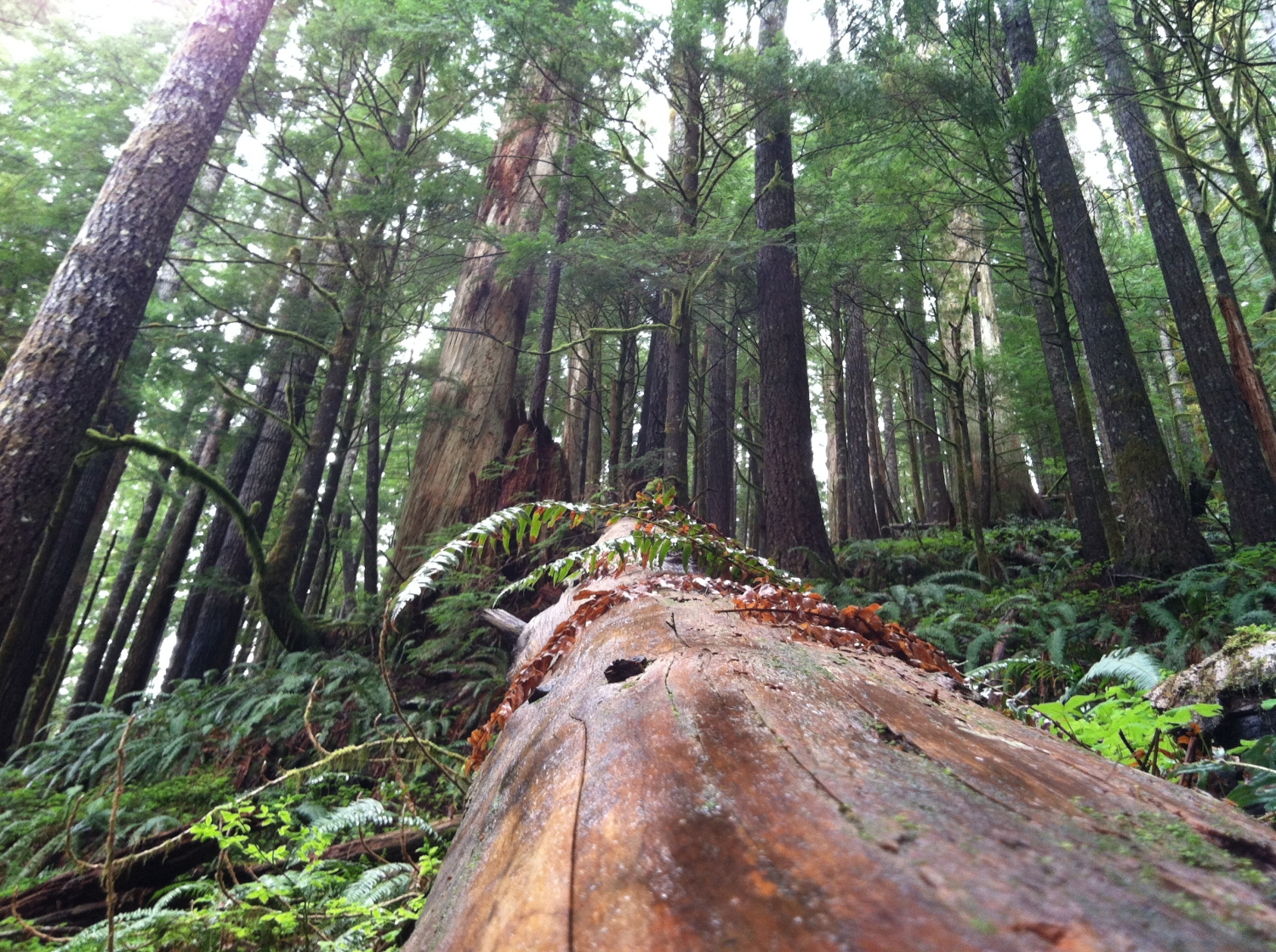
About the trail, it is very nice - green scenery with beautiful creek along the trail. Highly recommended.
2005-03-05 21:53:56
This is definitely a popular trail in the summer, lots of mountain bikers, kids, dogs etc. The trail along Siouxon Creek terminates in a very nice waterfall/swimming hole thats probably about 7 miles +/- in. There are also some fun little bridges to jump off along the way..
2005-01-31 12:30:15