Eastern Washington
Twin Lakes BLM Loop
Length: 9.5 **mileage is round trip miles
Low Point: 1877'
High Point: 2255'
Season: All Year
Low Point: 1877'
High Point: 2255'
Season: All Year
Scenery: 0/5
Difficulty: 0/5
Difficulty: 0/5
Submitted by: David Luders
Directions
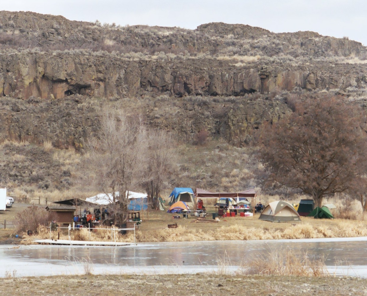
From Davenport, WA, drive southwards on State Route 26 to Harrington, WA. At the NW edge of town, take a right (west) on Coffeepot Road. Follow Coffeepot Road westward for 15 miles. Look for Highline Road on the right, and the Bureau of Land Management (BLM) signs for "Twin Lakes." Drive on gravel road northwards about 2 miles, and take a right (east) at the huge brown "Twin Lakes" sign. Drive down into the canyon to the campsite parking area, and begin your hike.Trail Description
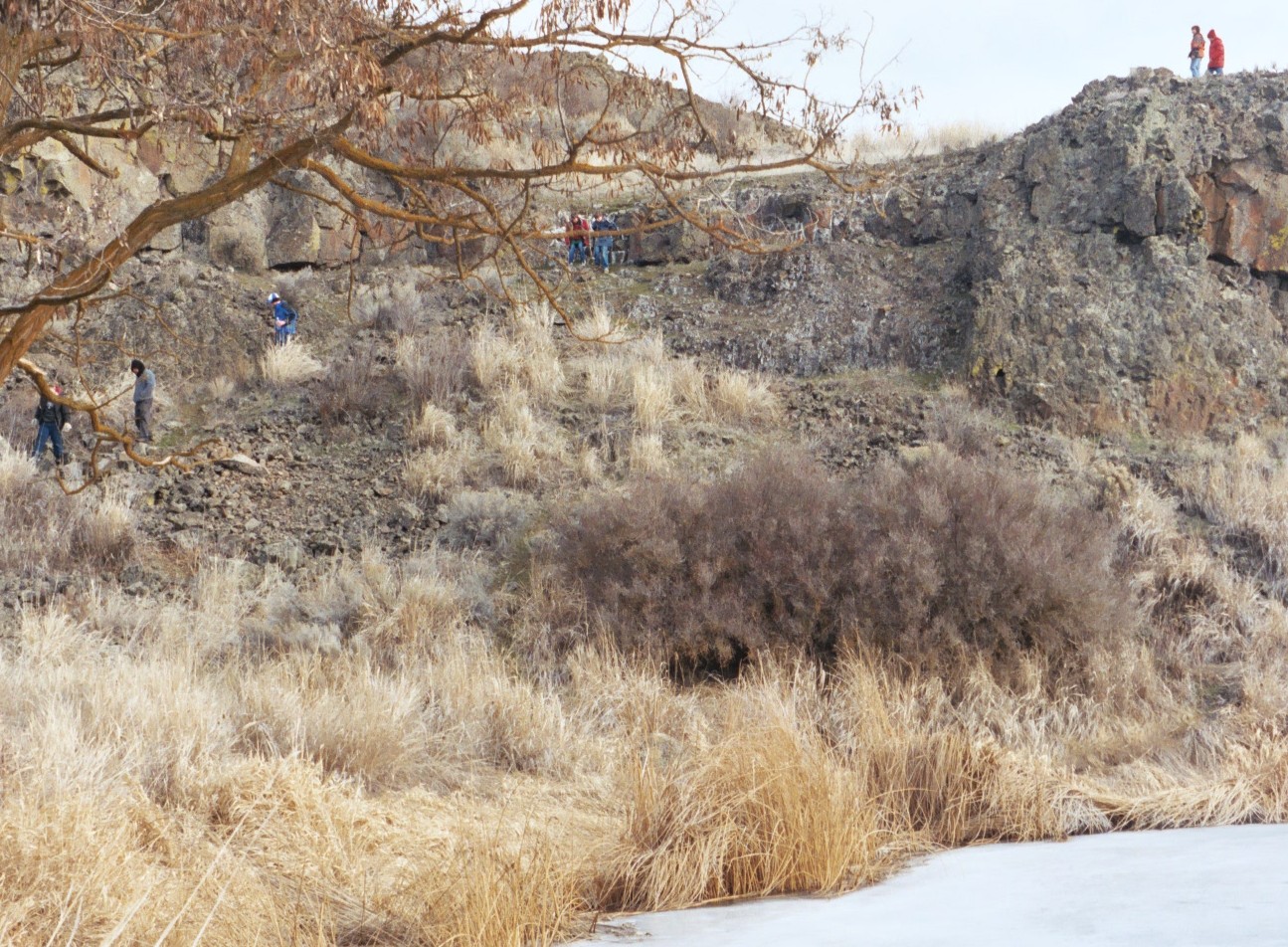
This 9.5-mile loop trail is great for the wintertime and early spring. There are lots of owls and some jackrabbits in the wooded canyon. This is sagebrush country, so you can see in all directions for 15 miles once you get up top. You can cut your hike shorter by bushwacking cross-country back down to the lake. The southern part of the loop trail can be cut off to a 6-mile hike. There are signs of wildlife in the shaded, southern canyon wall of Lake Creek which feeds the eastern half of the Twin Lakes.
Download the excellent BLM brochure and map at the web site http://ublib.buffalo.edu/libraries/e-resources/ebooks/images/eew1639.pdf .
Comments
There are some additional pictures of the lake on the website http://www.mnphotography.com/wtwinlk1.html ; be sure to click on the additional links at the bottom of that page. There's also some additional info about the site at http://www.bikeguy.com/b24sca.htm .
2005-02-28 06:24:16
.jpg)