Saddle Mountain
Low Point: 1600'
High Point: 3283'
Season: Spring/Summer/Fall
Difficulty: 3.5/5
Directions
From Portland, take Highway 26 west for 65 miles coming to a sign for Saddle Mountain State Park. Hang a right (north) on this road, and follow it for 7 miles until its end.Trail Description
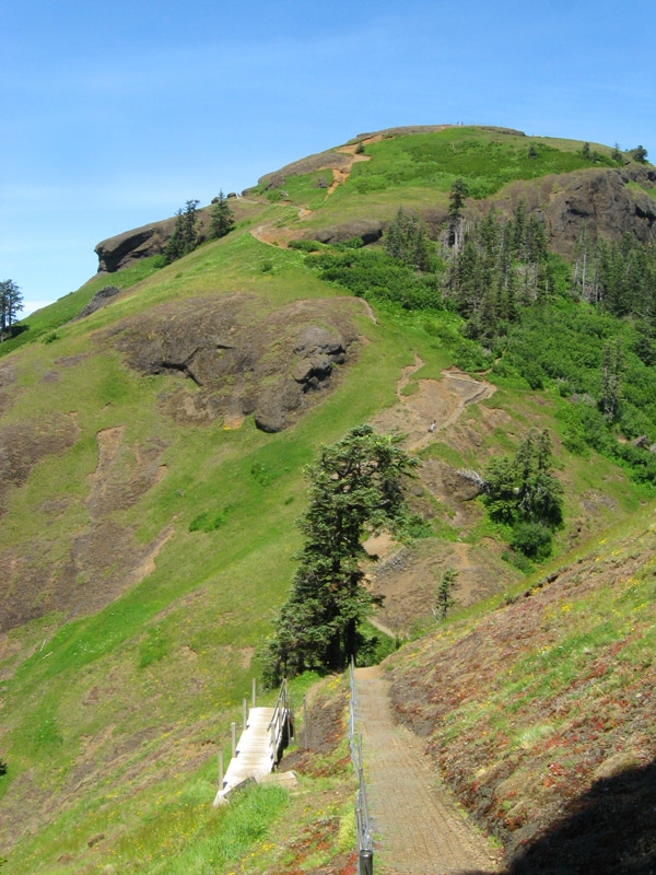
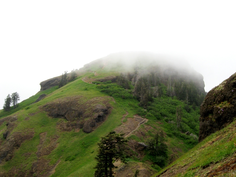
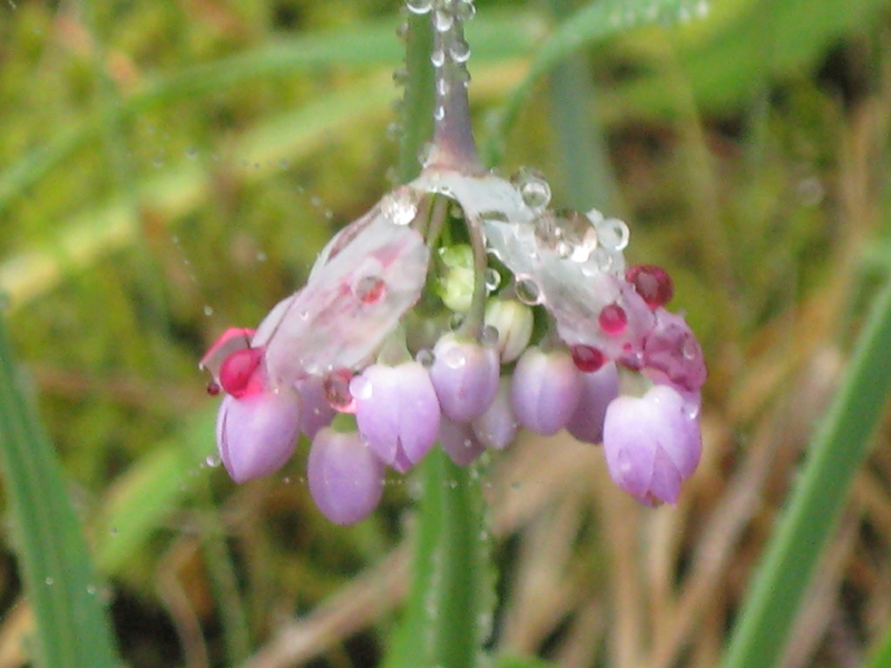
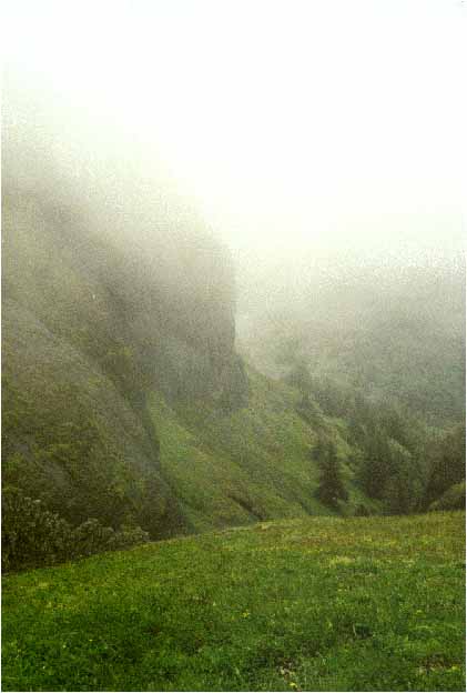
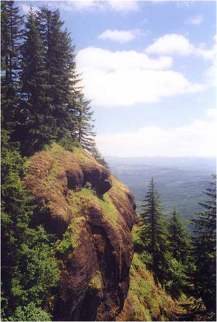
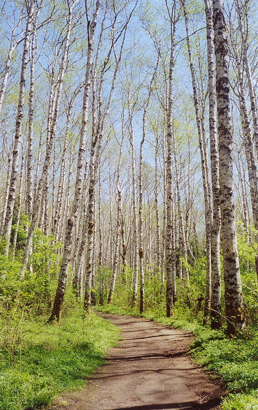
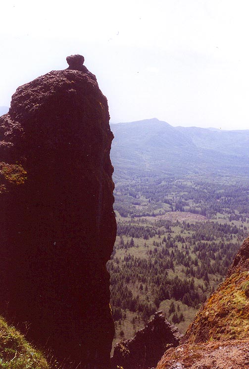
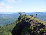
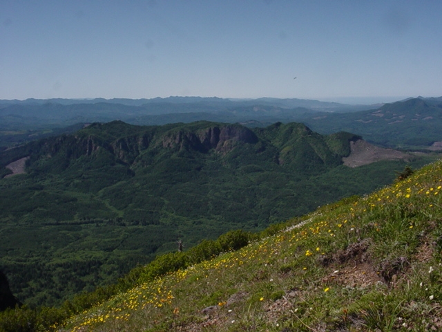
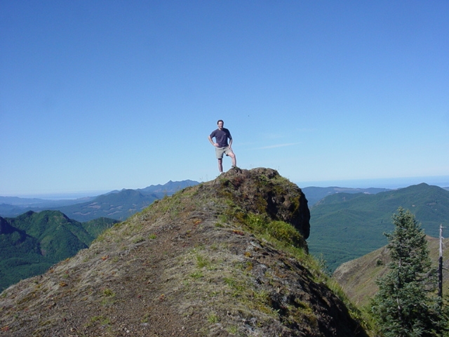
Bounded on all sides by vertical cliffs, Saddle Mountain seems out of place compared with the rolling hills of the coast range. Spring is one of the best times to visit the mountain when it is carpeted with an abundance of common and rare flowers, many of which are unique to the area. The trail starts out in a nice forest, but after about a mile, the views start to open up. The trail can be difficult at certain areas, especially where there are rock outcroppings where the rock can be slippery during wet periods. At around two miles you cross through the "saddle", descending a little bit, then rising steeply to the top of the mountain. The top makes a nice spot to eat lunch and observe the views from the ocean to the Cascade Peaks.
Comments
- Mark Eilitz
My husband comes from Florida where there are no mountains, and he enjoys the hikes up here at Mt. Rainier. We'll be making the trek down from Washington next Spring so he and our son can have the opportunity to see this amazing peak.