Neahkahnie Mt.
High Point: 1700'
Season: All Year
Difficulty: 3/5
Directions
Take Highway 101 south of Cannon Beach 18 miles to just past MP39. Park at the Oswald West State Park Day Parking Lot.Trail Description
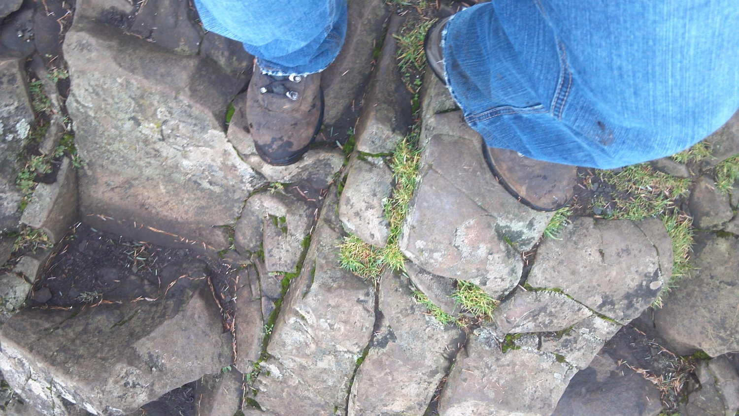
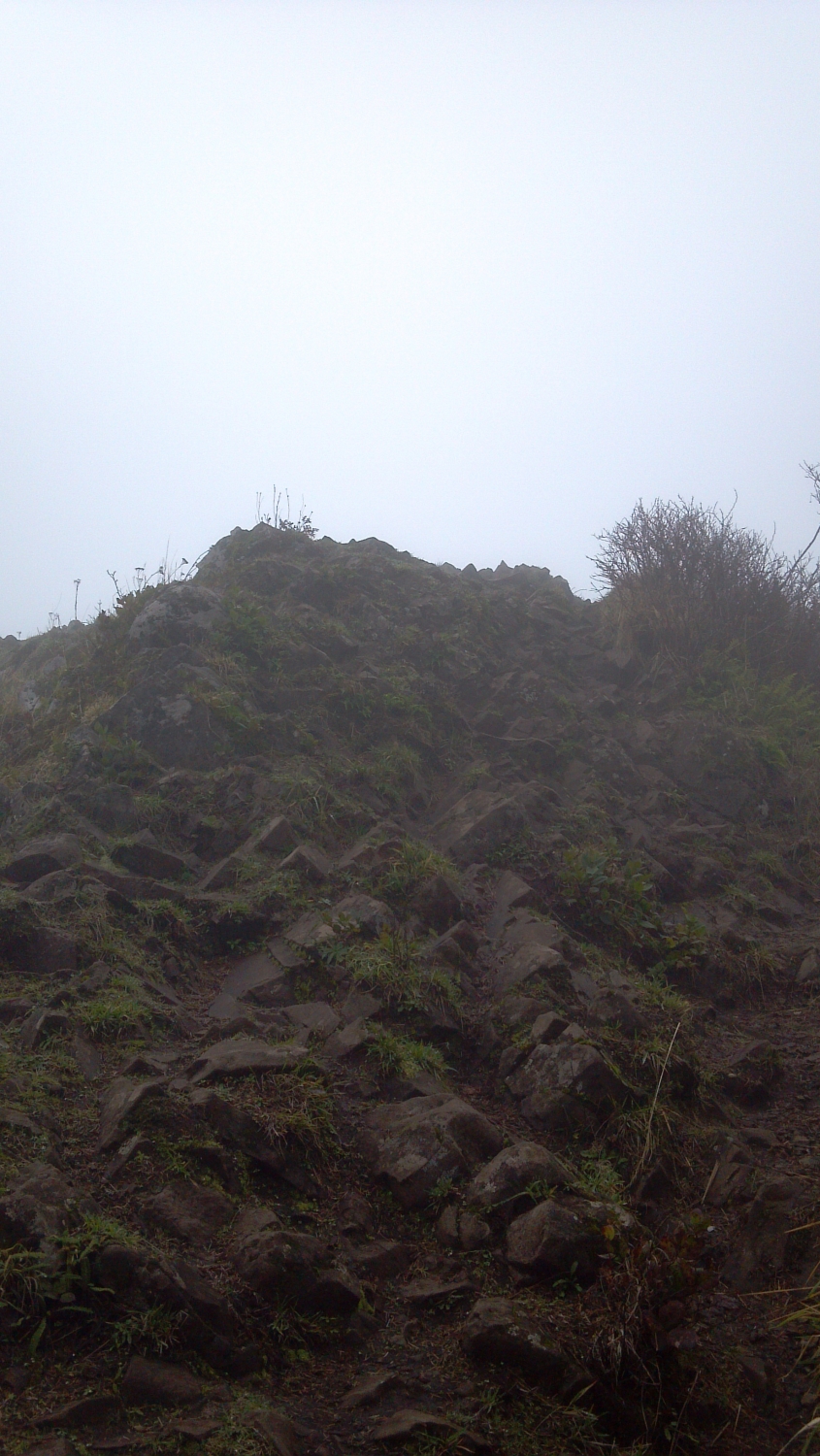
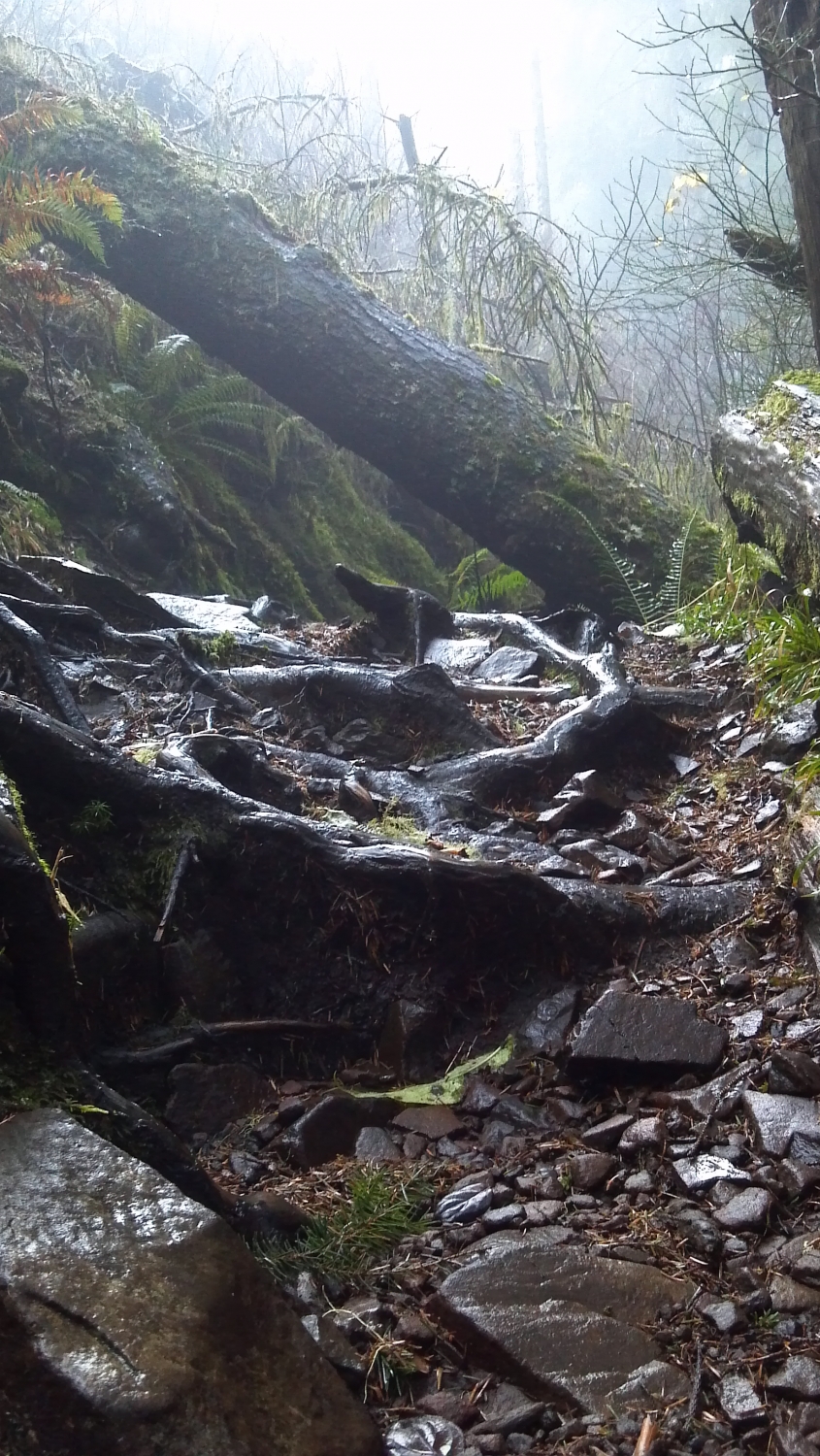
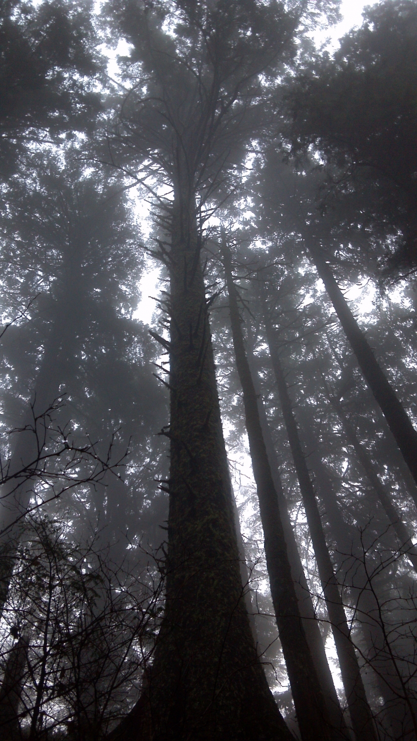
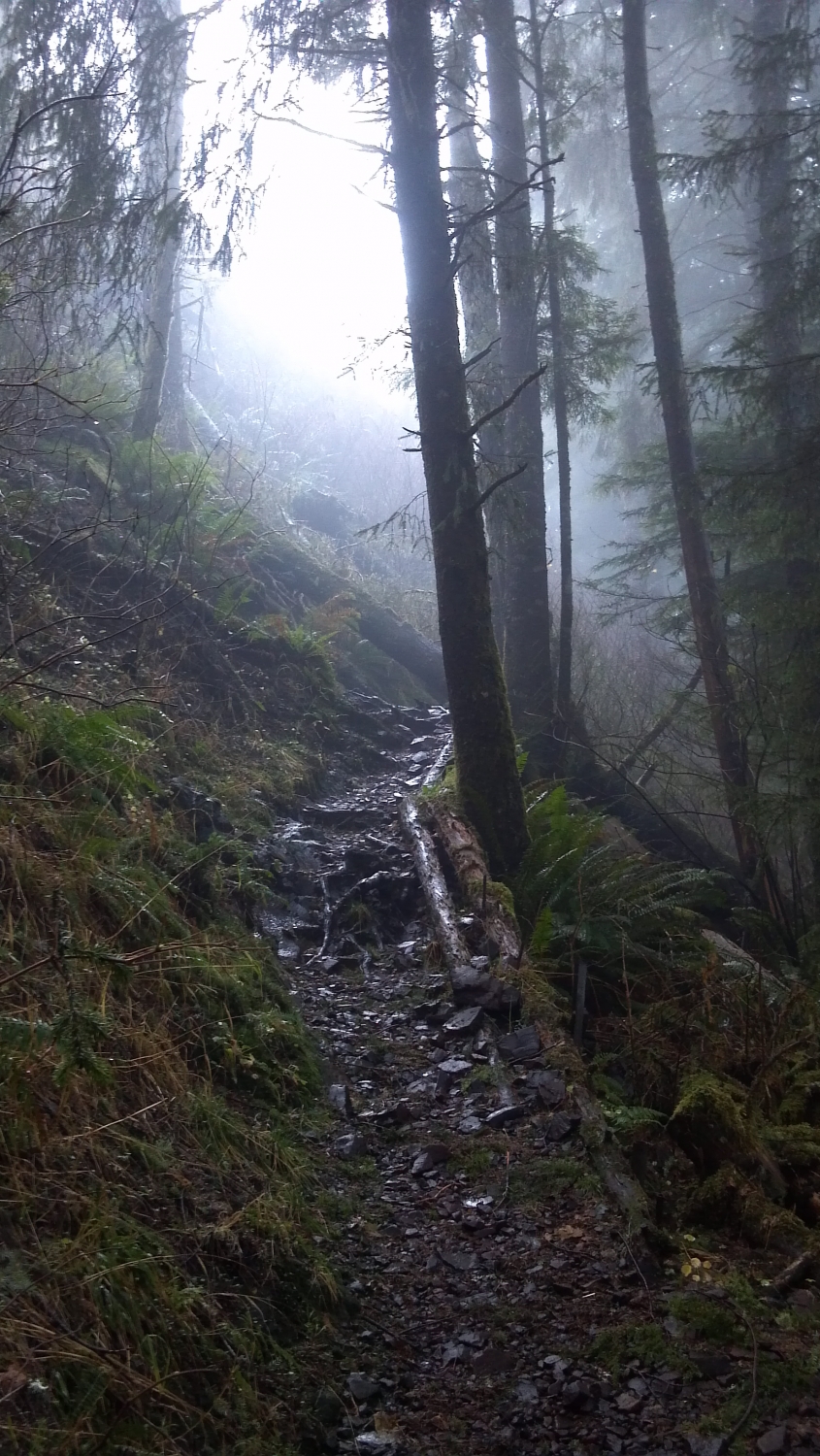
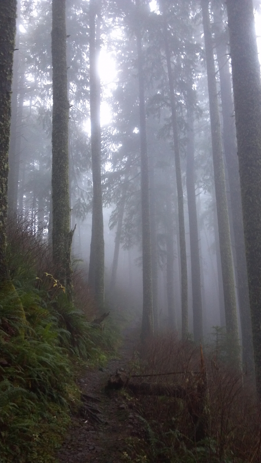
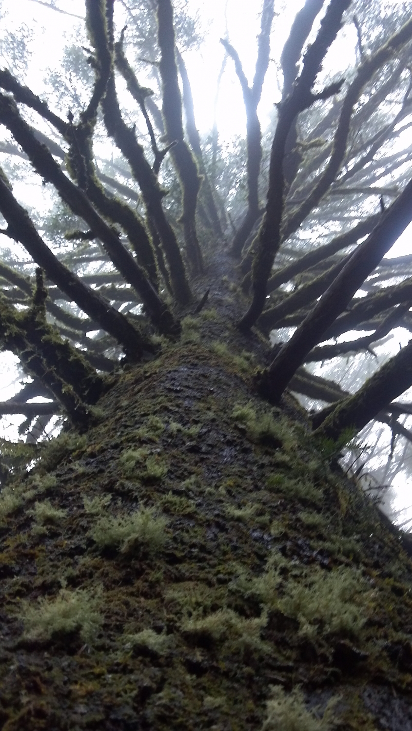
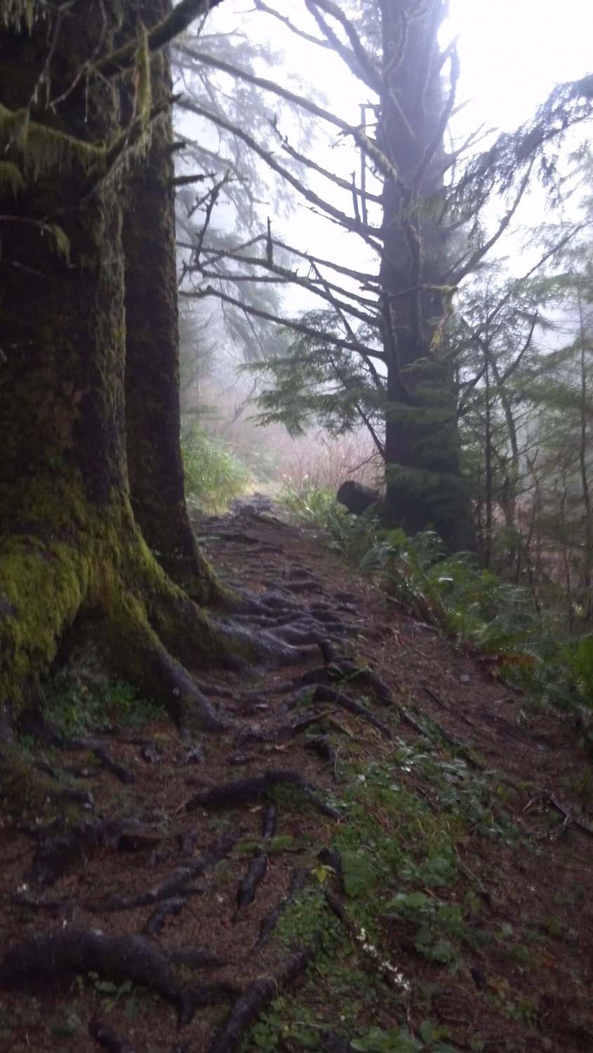
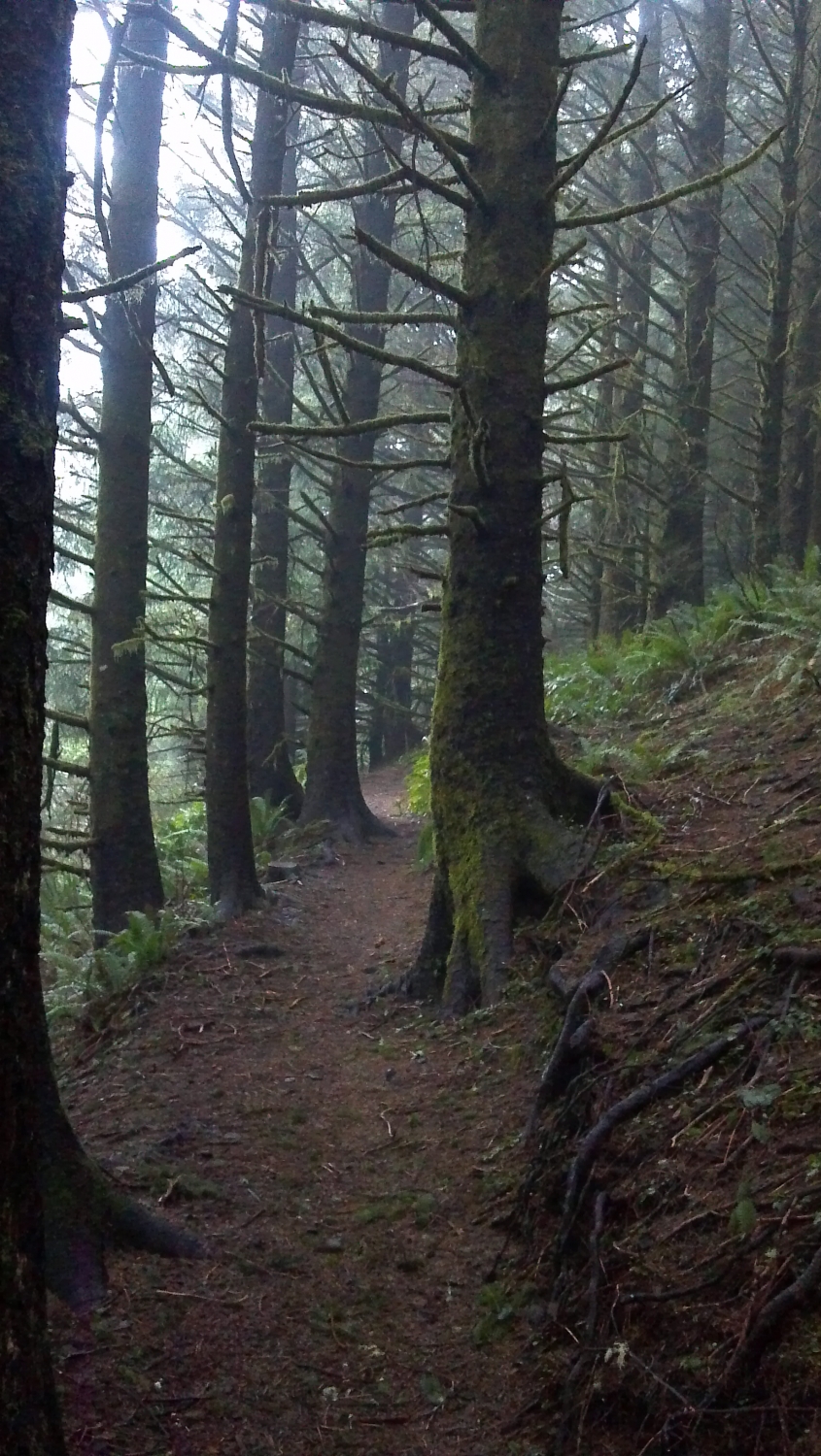
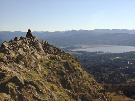
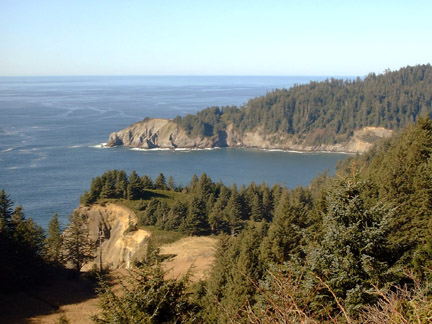
From the north end of the parking lot the trail goes under the bridge and follows South Sand Creek for a short distance till you come to a Y intersection stay to the left and stay left again at another intersection a short distance further. Go past the bathrooms and turn right along Necarney Creek. Soon you will come to a suspension bridge on your left. The sign at the bridge indicates 2.5 miles to Neahkahnie Mt. but it is closer to 3.5 miles. Shortly after crossing the bridge turn left at an intersection and begin to climb several switchbacks, along the way you will pass through the opening in the base of a large spruce tree. Once on top of the ridge the trail descends gradually till it comes to an open area, called Elk Flats, just before you cross Highway 101. At the highway you have hiked about 1.5 miles from the Oswald West Parking Lot and it is another 2.5 miles to the summit of Neahkahnie Mt. (If you prefer a shorter hike you can start here, drive a mile further south from the Oswald West Parking Lot to MP40 to a gravel turnout). After crossing the highway, climb several switchbacks up an open hillside with views of Smugglers Cove and Cape Falcon. After about a half mile the trail enters the woods and continues to climb. You get a break when the grade lessens about a mile or so from the highway, but it’s not long before you begin to climb again. Entering a forest of trees of mostly one age look for Haystack Rock to the north. Four miles from the Oswald West Parking Lot you come to the open rocky summit of Neahkahnie Mt. at 1700’ elev. The view includes the coastal communities along Nehalem Bay, the beach and the endless coastal mountains. For a map of the area go to www.oregonstateparks.org/park_195.php