Hurricane Hill Trail
Low Point: 5200'
High Point: 5757'
Season: All Year
Difficulty: 0/5
Directions
Enter through the north side of Olympic National Park, drive up Hurricane Ridge Road. Pass the Visitor's Center, park at end of road.Trail Description
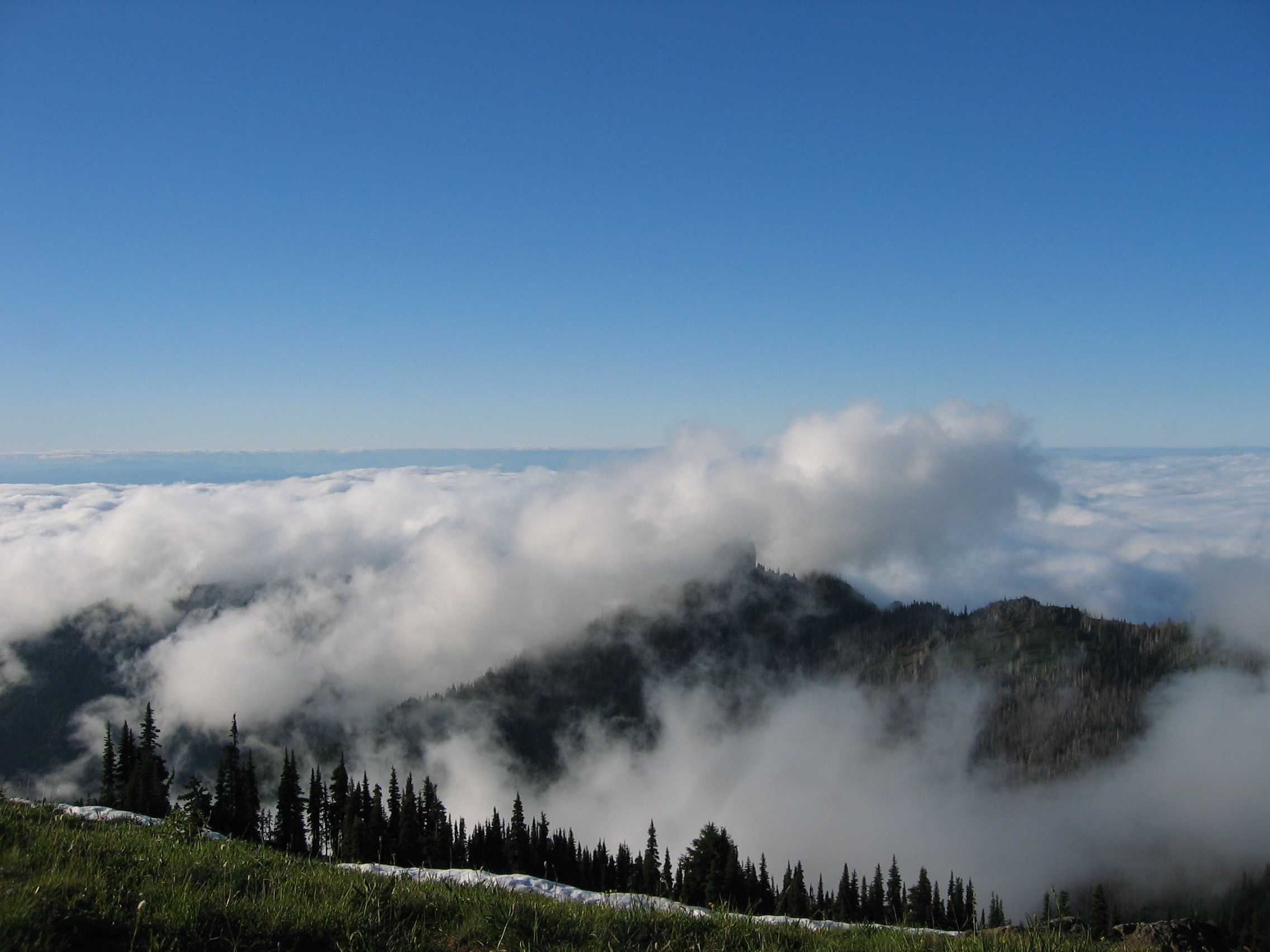
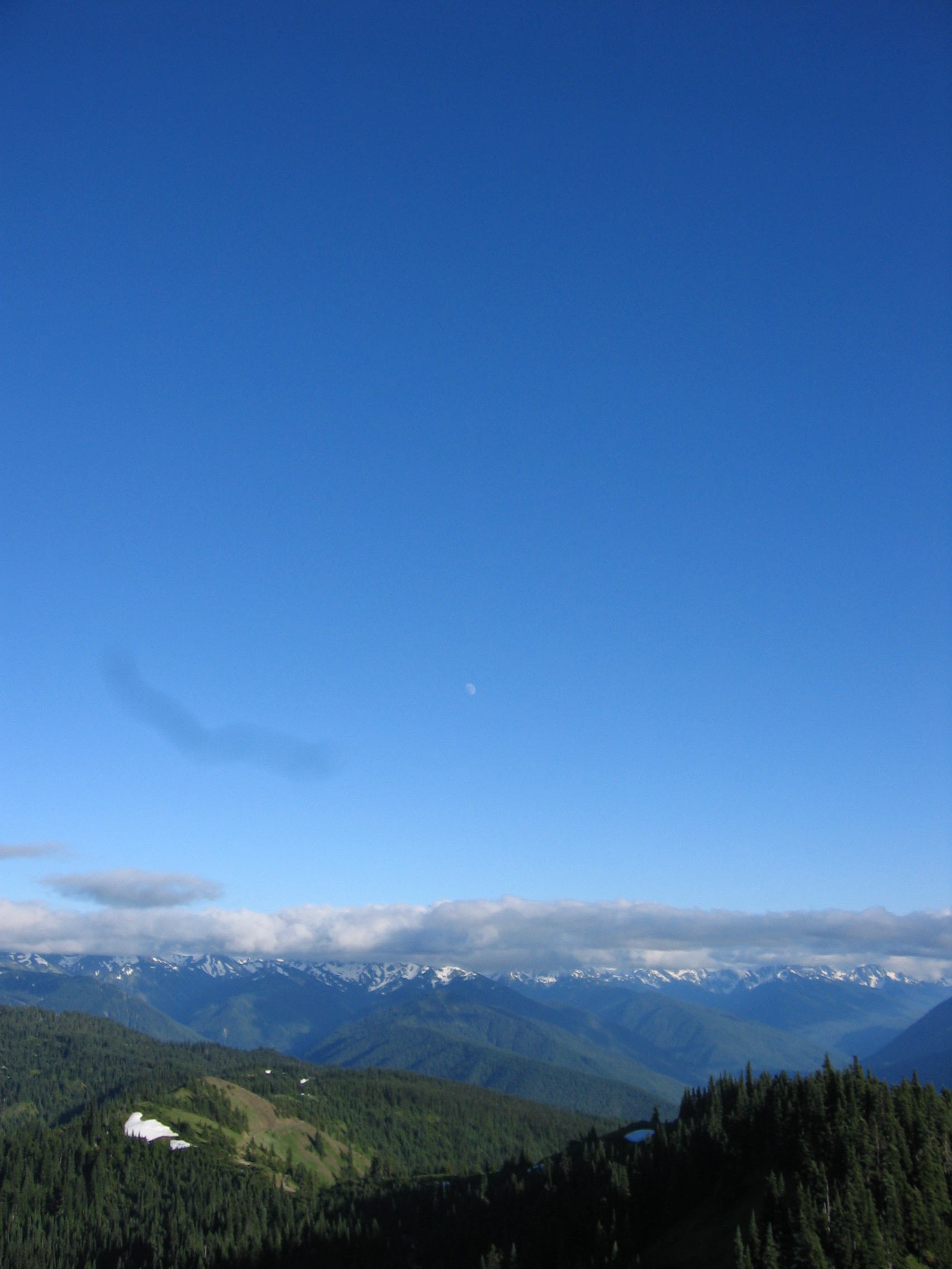
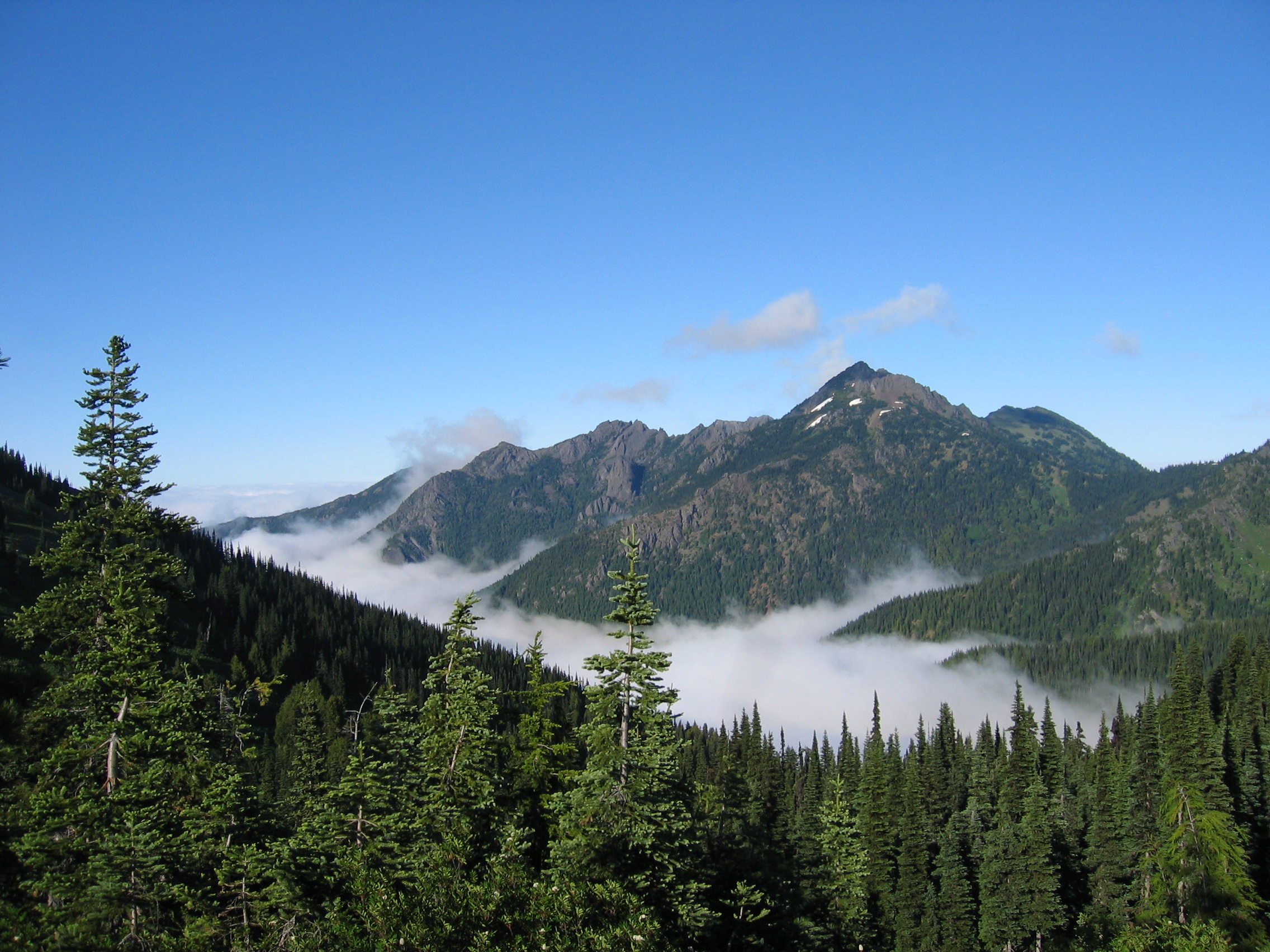
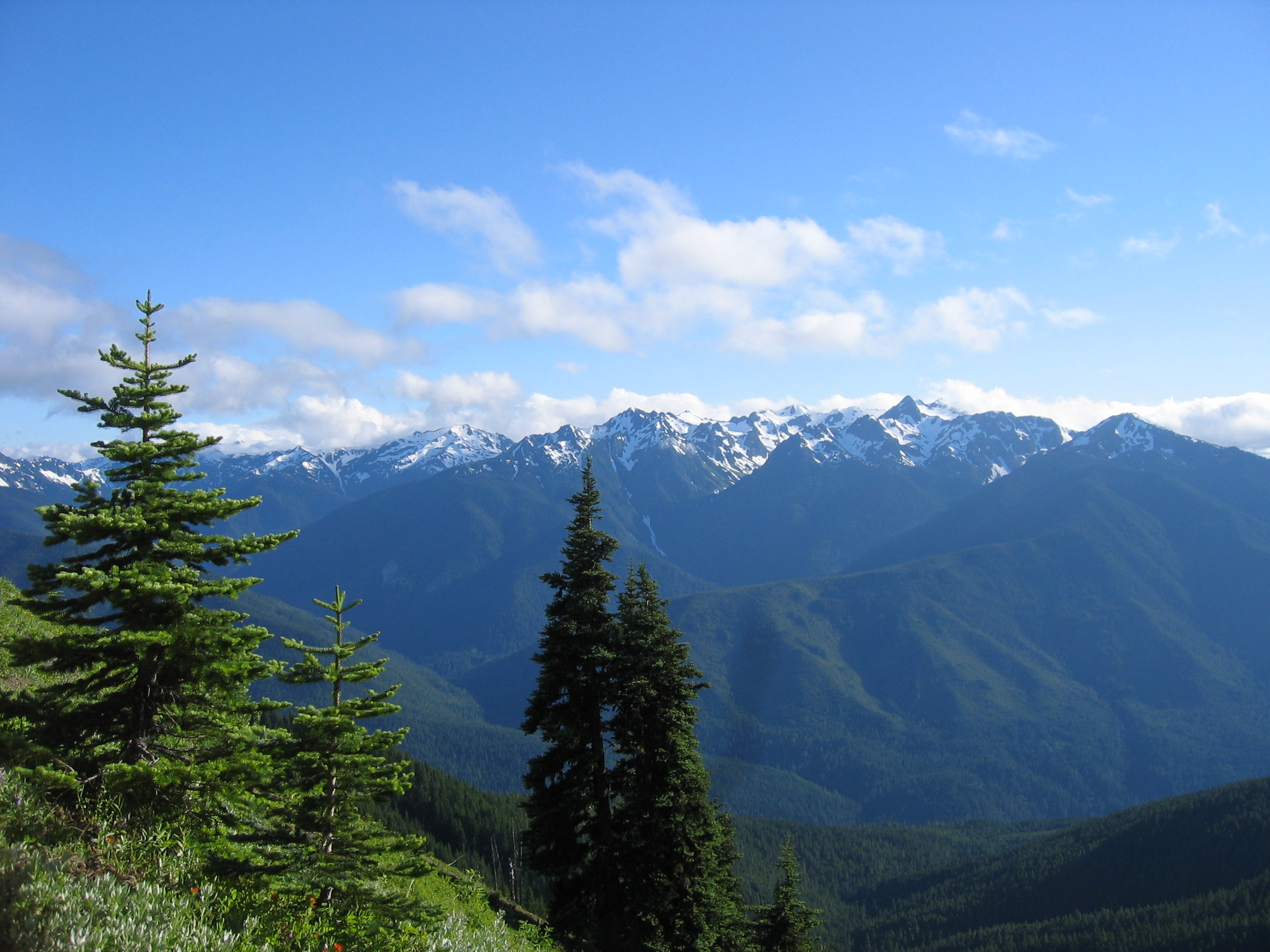
The first 0.5 miles of trail is paved while the rest of the trail is gravel or dirt. There are no guard rails & you will be hiking along the side of cliffs part of the way. The visitor's center is at 5,200 ft, the top of the trail/look out is 5,757 ft. It's fairly difficult if you don't do well in those altitudes, especially due to the steep grade but there are plenty of places to take a break including a few strategically placed park benches. A good time to go is the evening before the sun sets because that's when a lot of the wildlife comes out - but I would recommend leaving yourself enough time to drive down Hurricane Ridge Road while it's still light out. We saw lots of deer, a black bear, Olympic marmots, bunnies, chipmunks... Even on a beautiful summer day there aren't a whole lot of people hiking up to the top, probably due to the elevation & grade. On a really clear day they say you can see Port Angeles & the Straight of Juan de Fuca but there were clouds blocking our view. Regardless, it was a beautiful view even with the clouds, great photo ops, & worth the hike. Wear layered clothing & warm clothing. Even with the sun out it's still quite cold at those elevations.
.jpg)