Carl Lake
Low Point: 4400'
High Point: 5600'
Season: Summer/Fall
Difficulty: 3/5
Directions
Trailhead is at the end of Deschutes NF Rd. 1230, north of Sisters. From Sisters take Highway 20 towards Suttle lake. Just after the turn off for the Metolius Rec area, take NF RD 12 turn off. Stay on the 12 to NF Rd 1230, follow this road until the very end where you will find the trailhead. Cabot Lake Trail # 4003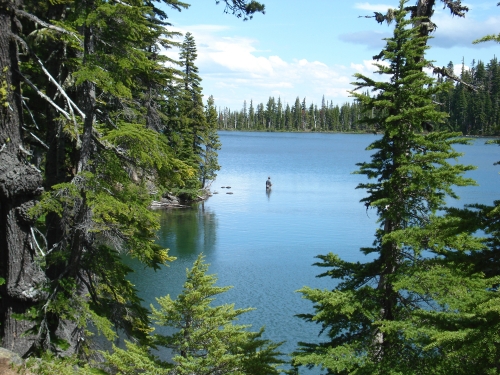
Trail Description
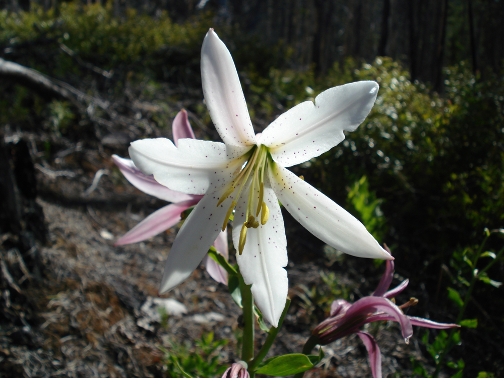
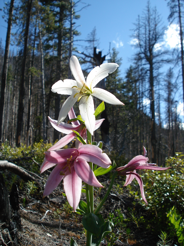
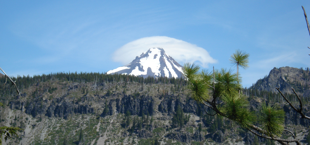
Trail starts off in a burn area and continues throughout the first 2 miles, the trees may be scorched but this opens up the land for beautiful views of Mt Jefferson and surrounding ridges. This stretch also is filled with wild flowers and other new growth.
The trail that leads to Cabot lake is easy to miss, it will be on the right almost at the two mile mark exactly, if not checking out Cabot Lake stay to the left to continue on up the switch backs towards Carl Lake.
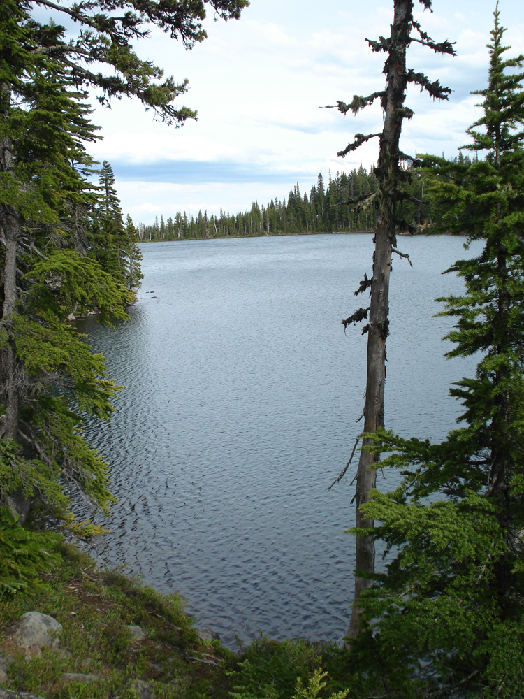
The trail continues on for a couple miles or so and eventually runs into the first of a handful ponds that dot the area leading into the Carl Lake area. The water is clean and clear and offers a great rest stop for people and dogs.
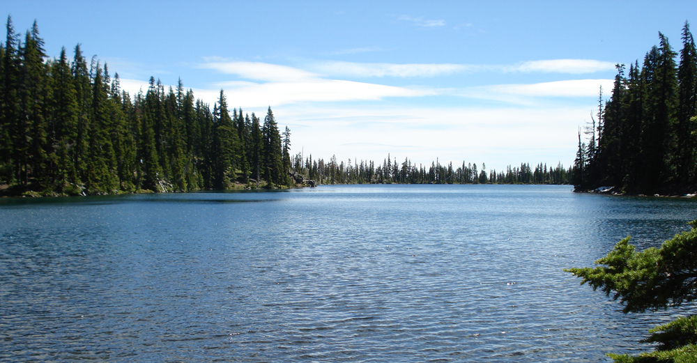
After snaking through the ponds the trail eventually extends up a few more switch backs and brings you around to Carl Lake. Carl Lake has blue/green water and breath taking views. Most of the sweet camping spots are around on the north side of the lake, add on another half or so mile to your hike to find a place to camp.
Fly fishers take note Carl Lake does have wild trout and offers some good but challenging fly fishing..I packed in my waders and was very happy I did! Please catch and release unless you are starving, there are not a whole lot of fish in this lake, every last one counts.
There is also a few other trail options from Carl Lake. The Pacific Crest Trail runs just above and can be accessed fairly easy. There is also a hard to see trail that leads up to Shirley Lake.
Overall the trail is very moderate with one significant set of switch backs, but no difficult stretches or crossings... can be used as a day hike for quick movers.
Essentials: BUG SPRAY, Mt Jefferson Wilderness map, camera, and respect for Mother Nature.