Pretty Lake
Low Point: 4850'
High Point: 5830'
Season: Summer/Fall
Difficulty: 0/5
Directions
From Highway 58, in the small town of Crescent Lake, turn south onto Forest Service Road 60. Follow this road for 2.2 miles, and turn right at the intersection, staying on Forest Service Road 60. Drive for 0.3 miles, turning left at a sign for the Fawn Lake Trailhead. Follow this road for 0.2 miles, turning right into the very large parking area. The trailhead is on the far western edge of the parking lot.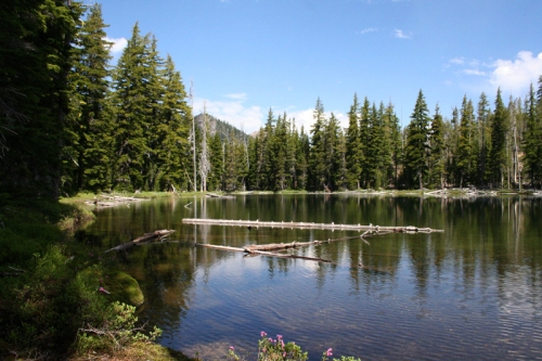
Trail Description
Pretty Lake is a nice, quiet lake sitting in a basin below Redtop Mountain on the eastern edge of the Diamond Peak Wilderness. The short trail, which climbs a little less than a thousand feet at a pretty comfortable grade provides access. This trail can be easily combined with the Fawn Lake Trail to create a very nice loop trip, suitable either as a day hike or a nice backpacking trip.
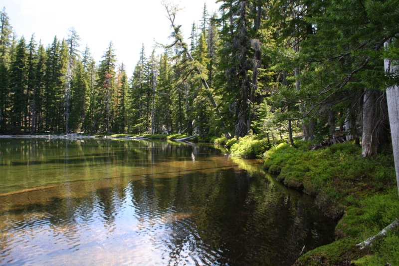
From the trailhead, the trail crosses Forest Service Road 60, crosses into Diamond Peak Wilderness, and reaches a trail intersection after about a half mile. Stay left, as the trail climbs through open forest of lodgepole pines, and a few larger firs and pines as the trail rises in elevation. As the trail crosses 5,500', views of conical Odell Butte and Royce Mountain arise between the trees to the east. After 3.5 miles, the trail approaches Pretty Lake. Look for short side trails that lead to the lake. While we didn't notice any established campsites, the landscape around the lake is pretty flat and open, so camping can be found and there may be established sites beyond the extents of our exploration.
This trail makes a good loop with the Fawn Lake trail. Just continue past the lake as it drops down into the Fawn Lake Basin. The distance to the lake is about a mile, the distance to the Fawn Lake Trail, which leads back down to the trailhead is about a mile-and-a-half beyond Pretty Lake.