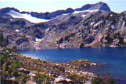
Glacier Lake
Low Point: 4645'
High Point: 8166'
Season: Summer/Fall
Difficulty: 4/5
Directions
From Joseph, follow the Wallowa Lake Highway to the south end of Wallowa lake, avoiding the right hand fork which goes to Wallowa Lake State Park. The trail head is at the end of the parking lot.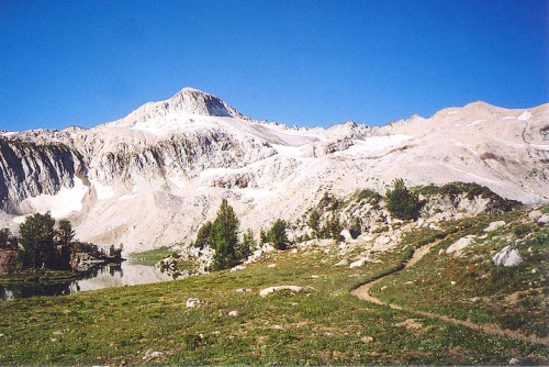
Trail Description
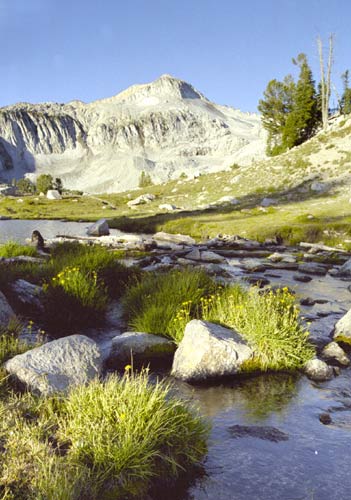
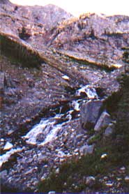
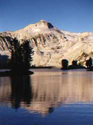
There are many routes that can be used to reach Glacier Lake, all of which are equally good. The route following the West Fork of the Wallowa River offers some astounding scenery, especially in the final few miles, where the Wallowa River bends westward exposing the shear cliffs which rise up to Cusick Mountain and Sentinel Peak. This area has to be amazing during the early summer, when huge waterfalls must run down the sides of the canyon from the high mountains.
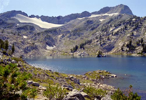
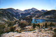
The West Fork Trail offers a fairly gentle climb to Glacier Lake, over a span of about 14 miles. At around 9.5 miles from the trailhead, trail crosses the river. During our late August trip, this crossing required us to get wet...during earlier trips, Isinglequotem sure it is even more difficult to cross, and could require the use of walking sticks for stability. One mile past this slightly difficult crossing, the trail reaches Frazier Lake, which sits in the nice green valley directly below the sharp pinnacle of Cusick Mountain.
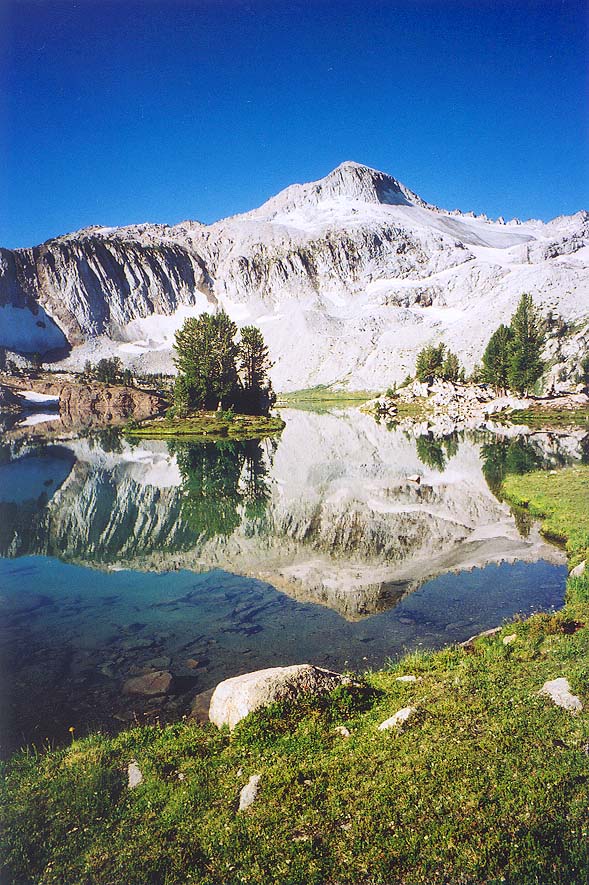
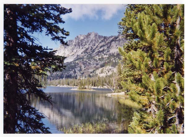
Past Frazier Lake, the trail forks. The trail to the left offers access to Frazier Pass, and the southern Wallowas. Stay right, and follow the trail up the side of the valley. Glacier Lake is approximately 2.5 miles past Frazier Lake, and is very impressive.
The area around Glacier Lake is amazing. With a map, Prospect Lake is also easy to find, and is an excellent option for those who want to find solitude.
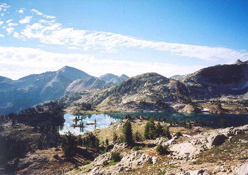
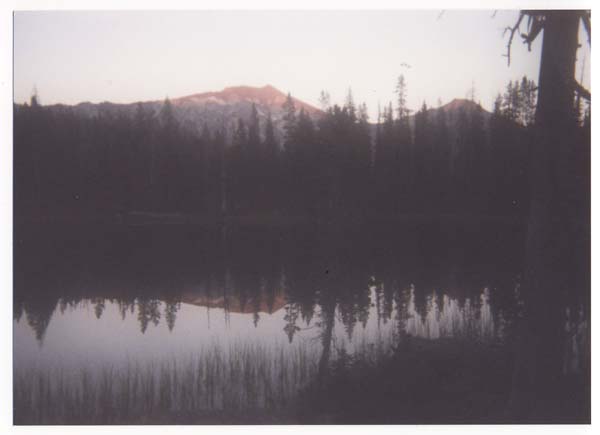
Glacier Lake area can also be combined with the lakes basin area to form a very impressive loop trip through the Northern Wallowas. During our trip through this amazing wilderness, we followed the East Fork of the Lostine River to Lakes Basin, and then crossed over Glacier Pass to Glacier Lake, and then continued down the West fork trail to Wallowa Lake. This worked very well, and allowed us to see lots of territory in the span of three days. The disadvantage is that it requires a shuttle of about 20 miles.
Comments
We moved to Tucson, Az to get away from the rain and the Wallowas are what we miss the most.