Hurricane Creek
Low Point: 4600'
High Point: 7800'
Season: Summer/Fall
Difficulty: 0/5
Directions
From Enterprise, follow Hurricane Creek Road south, for approximately five miles to a fork in the road. Continue on Hurricane Creek Rd., avoiding the left turn, and follow the paved road for three miles to the trailhead.Trail Description
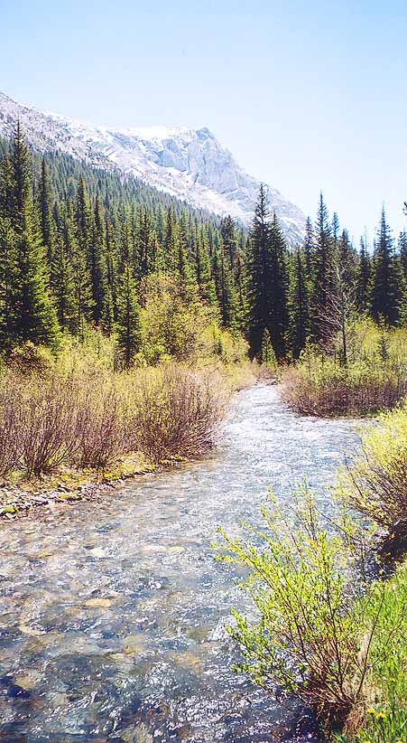
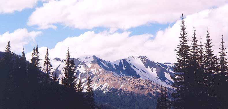
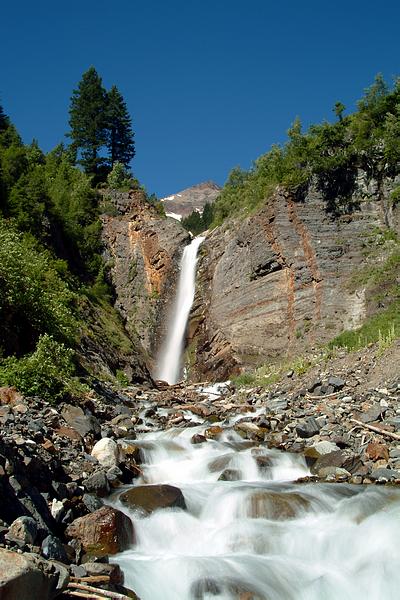
The Hurricane Creek trail, which takes hikers deep into the Eagle Cap Wilderness, is an amazing hike that gives close-up and dramatic views of the 9,000-foot peaks that flank the two sides of this impressive glacial canyon. For inhabitants of western Oregon, seeing the white granite peaks contrasted against the deep blue skies and green foliage is a new and interesting type of mountain. This trail follows Hurricane Creek and gives access to the popular Lakes Basin area of the Wallowas. This is a very impressive hike:
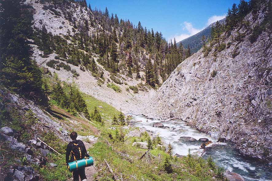
The Hurricane Creek trail starts out with an optional, and demanding side-trip up Falls Creek, which the trail soon crosses. A little ways past the creek crossing, the views up the canyon of Sacajawea Peak and Hurricane divide are revealed. As these mountains come into view, they seem to pull you closer and further into the wilderness. At around three miles, just before crossing Slick Rock Creek, the trail climbs high above Hurricane Creek that cuts through a narrow gorge below. At five miles, a difficult and very steep trail leads off to the to Echo Lake, which is perched high above at 8372 feet. Shortly after this, the trail crosses Hurricane Creek, which is tricky, but possible with the use of strategically placed logs and rocks.
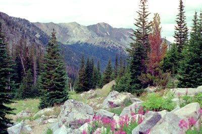
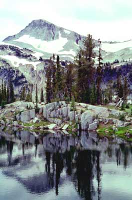
The trail then leads you beneath the shear face of the Matterhorn, which rises straight up 4,000 feet. Below the peak, lies a nice meadow, which fills up with wildflowers during the summer This area is great to take a break at. Have some lunch, and enjoy the views, maybe take a nap, and then after a few hours of soaking in the place, continue on your way, because there is lots more to see on this trail. At eight miles, the trail passes by two old cabins and reaches a nice meadow. Shortly thereafter, the trail crosses Hurricane Creek twice (which is much smaller than at the beginning of the trail and therefore much easier to cross), and crosses over a pass (approx. 7,500 ft), which is a moderately difficult endeavor. After the ridge, you will find yourself in the Lakes Basin, a nice reward for your hike. Be sure to visit the many lakes of the area. Each one offers its own unique charm. Once again, sit around, and enjoy the views!