Oregon Cascades
Cooper Spur
Length: 7 miles
Low Point: 5800'
High Point: 8300'
Season: Summer/Fall
Low Point: 5800'
High Point: 8300'
Season: Summer/Fall
Scenery: 5/5
Difficulty: 4/5
Difficulty: 4/5
Submitted by:
Directions
From Portland, travel Highway 26 until reaching Highway 35 near the crest of the Cascades. Turn north and travel until reaching a sign for the Cooper Spur Ski area. Turn left (west) and travel for Forest Service Road 3510 for three miles until turning left onto Road 3512. Follow this road for 10 miles to Cloud Cap Campground and follow the signs for the Timberline Trail.Trail Description
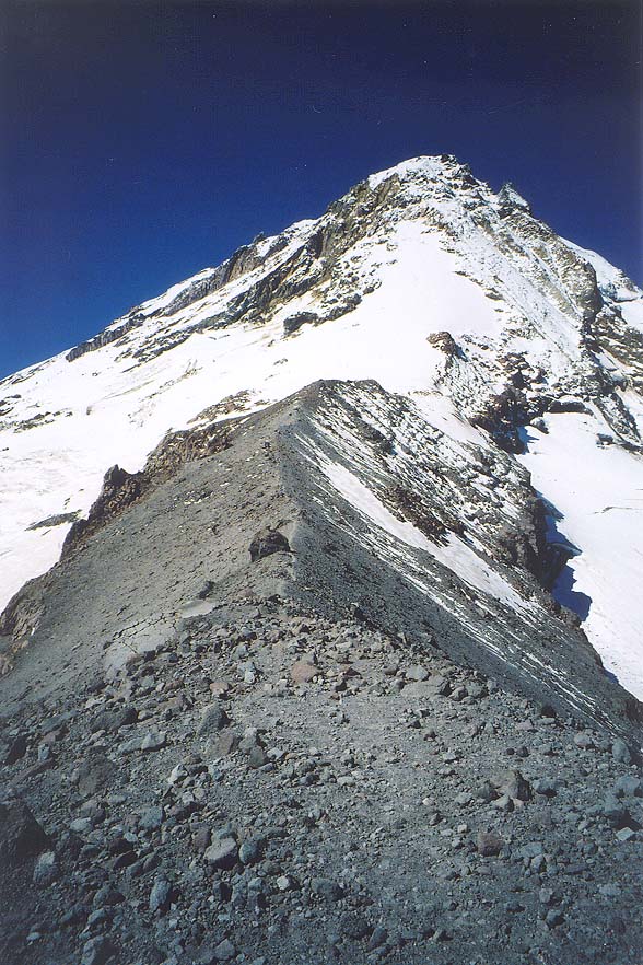
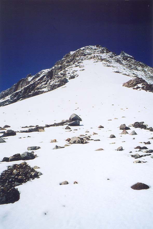
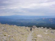
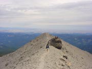
From the trailhead, walk the timberline trail for one mile (the trail in the middle) until reaching the Cooper Spur Trail. Travel this route for as long as you like. Eventually the trail ends at Tie-In_Rock with views of glaciers, mountains, and most of Oregon and Washington!
Comments
My favorite Mt. Hood trail. Watch for altitude problems for the less fit.
2004-05-24 13:55:44
An awesome hike if you want the feeling of "mountaineering", but you want to sip a latte in Portland in the morning and sleep in a warm bed that night. Leave the crampons at home (or not!).
2004-04-05 06:14:05