Dog Mountain
Season: All Year
Difficulty: 3.5/5
Directions
take I-84 East from Portland, and cross the Bridge of the Gods at Cascade Locks. Turn right heading East on Highway 14 for about 15 miles. The trail head will be a rather large and well marked pulloff to the left.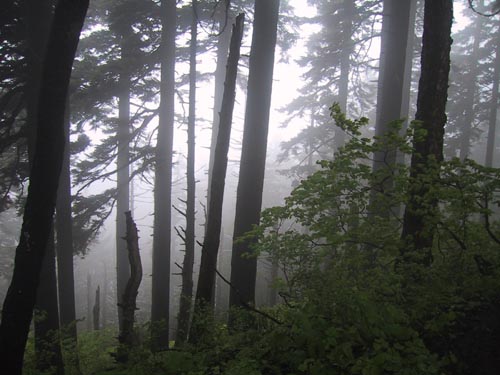
Trail Description
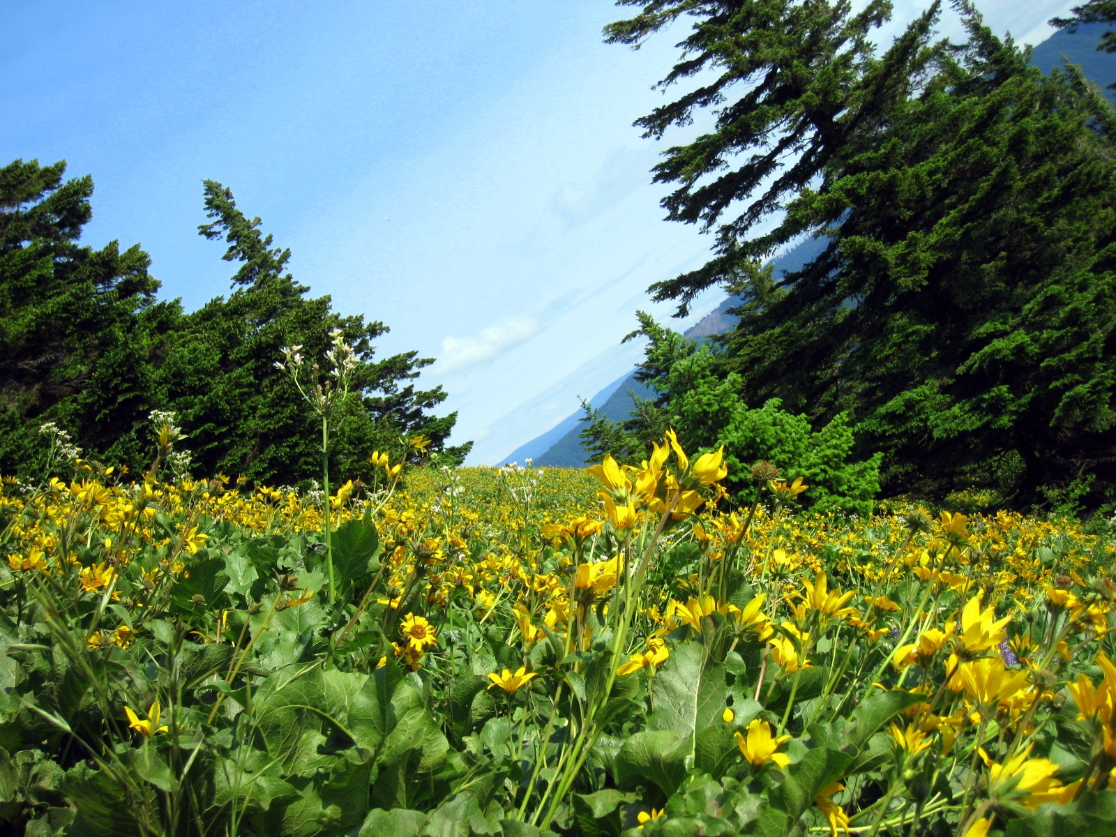
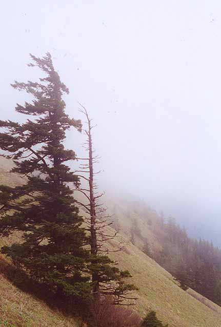
This Hike is a great one for wildflowers and views. I guess it can get rather busy in the spring though. I was there on a cloudy and windy friday in May and there were still quite a few people.
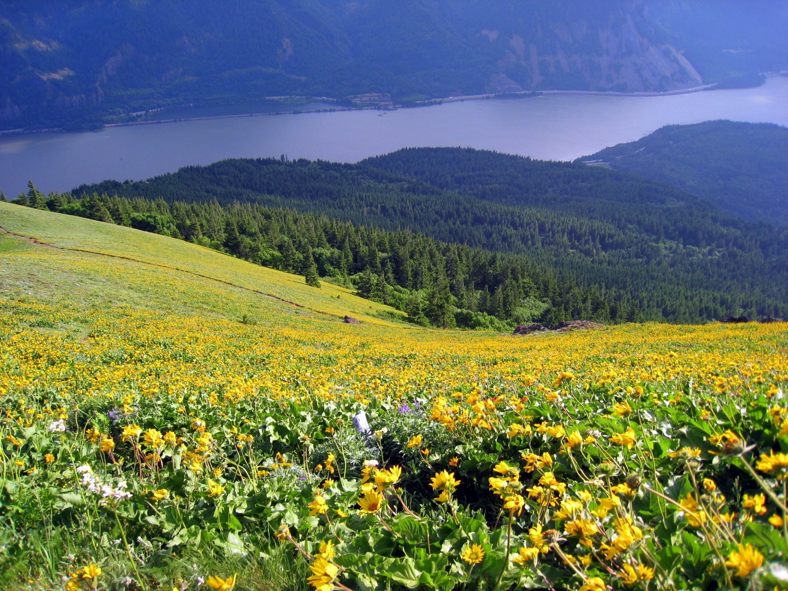
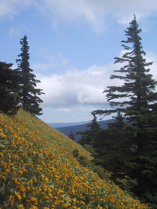
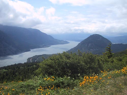
The top of dog mountain offers some great views of the gorge and I was told that you can see mount hood and mt adams if it is not cloudy. But since it was don't hold me to that!
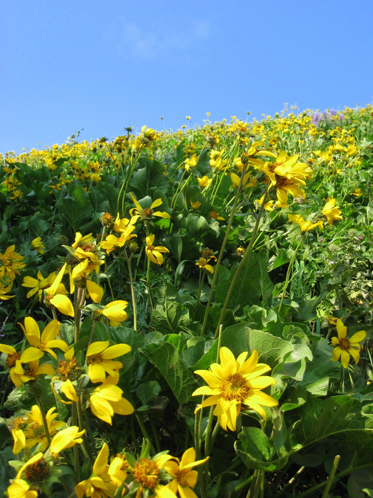
May is the time to go as there are wildflowers everywhere! But I would imagine that some flowers are still around for the majority of the summer.
There are 2 options at the parking lot, as well as a good map of the routes. The trail heading east is steeper and thus a better choice for the ascent. This trail itself starts at the bank of the Columbia and quickly heads uphill through some second growth forrest. Before too long however you emerge on a windswept slope with no trees and breathtaking views for the rest of the journey to the top.
There is a junction relatively quickly with the old trail to the top of the mountain. This trail is supposedly more difficult and also does not provide nearly as good of views as its newer counterpart, which is the eastern most fork. From here it is simply a steady climb to the top.
From the summit you can go down the way you came or continue down the western route back to the parking lot. There is one junction on this route as well, where a trail splits off to Augspurger Mountain. Again it is well signed and unless you want to add another 10 miles to this hike take the western fork and head to the parking lot.