Observation trail loop
Low Point: 1200'
High Point: 4200'
Season: Spring/Summer/Fall
Difficulty: 0/5
Directions
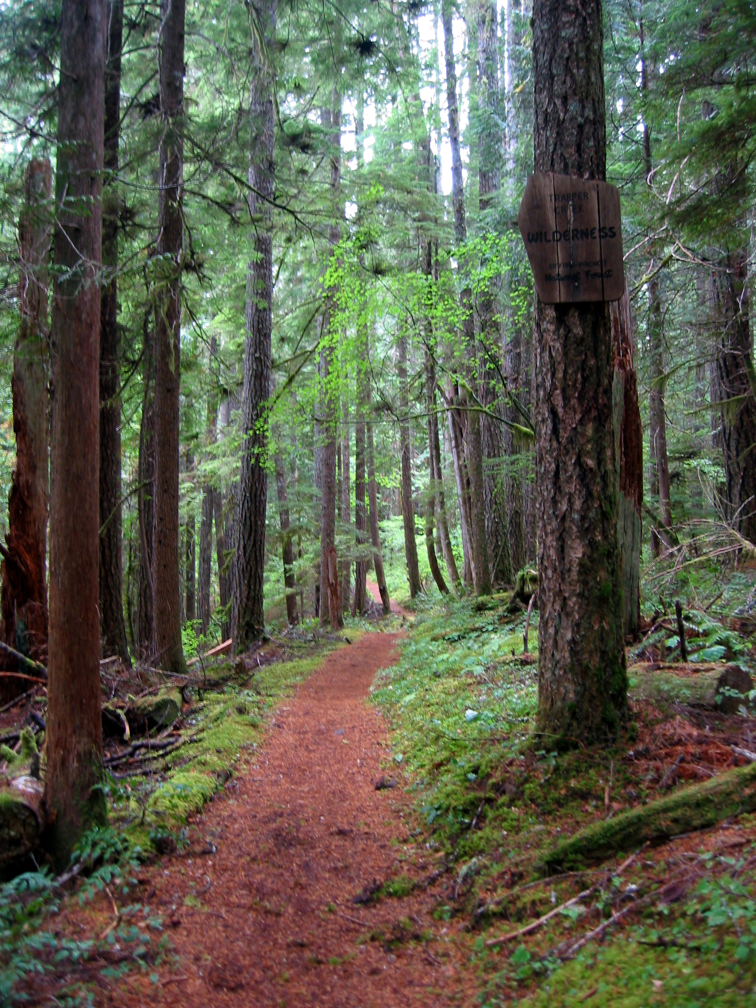
Follow Wind River Road north out of Carson, WA, about 20 miles. Immediately after you pass the fish hatchery on your left, the road forks and you continue straight ahead. The trailhead road is signposted off to the right after about a mile, and deadends at the trailhead (45,52.880,-121,58.848). There is a nice little campground nearby (45,52.915,-121,59.775), with Mineral Spring water available from a pump (interesting taste). If you camp there check your map and hike from there - I didn't realize at the time but I think it will save almost a mile each way.Trail Description
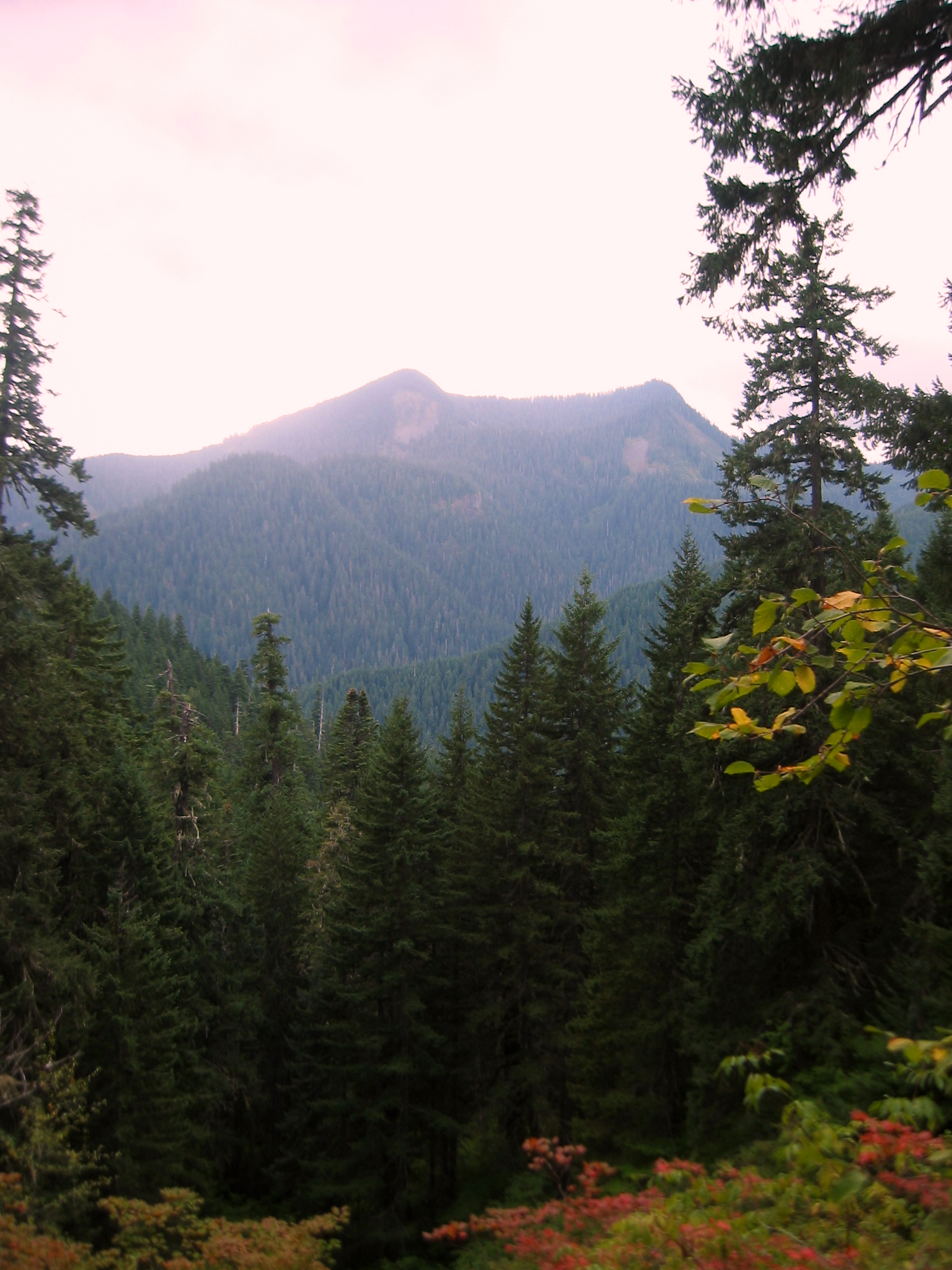
This is a beautiful wooded trail through a nice wilderness area south of St Helens. The trailhead is easily found and the whole route is clear and well signposted with those nice Mazama wood markers. It is fairly long at about 13 miles, with about 3000 feet of elevation gain, so it took me a good 7 and a half hours without all that much stopping.
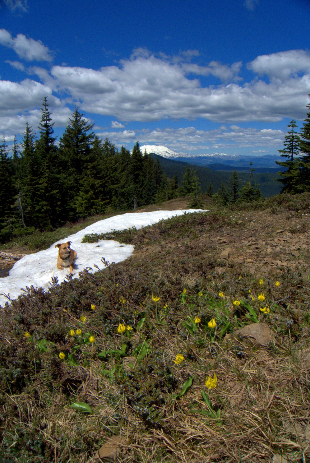
The big point of this trail is the
view from the top of Observation peak, which supposedly includes St Helens, Hood, Adams and the surroundings. I say "supposedly" as I did this the week the summer sun finally broke and though there was little to no direct rain, low clouds and mist took away all hopes of views beyond the immediate surroundings.
Nevertheless this dense little wilderness area has beautiful trees, lush undergrowth and lots of wildlife. I was lucky enough to see a black bear on this trip, though I was a little unnerved by the fact he ran straight up the mountain, bisecting the switchbacks that I had to spend the next hour following (while nervously singing).
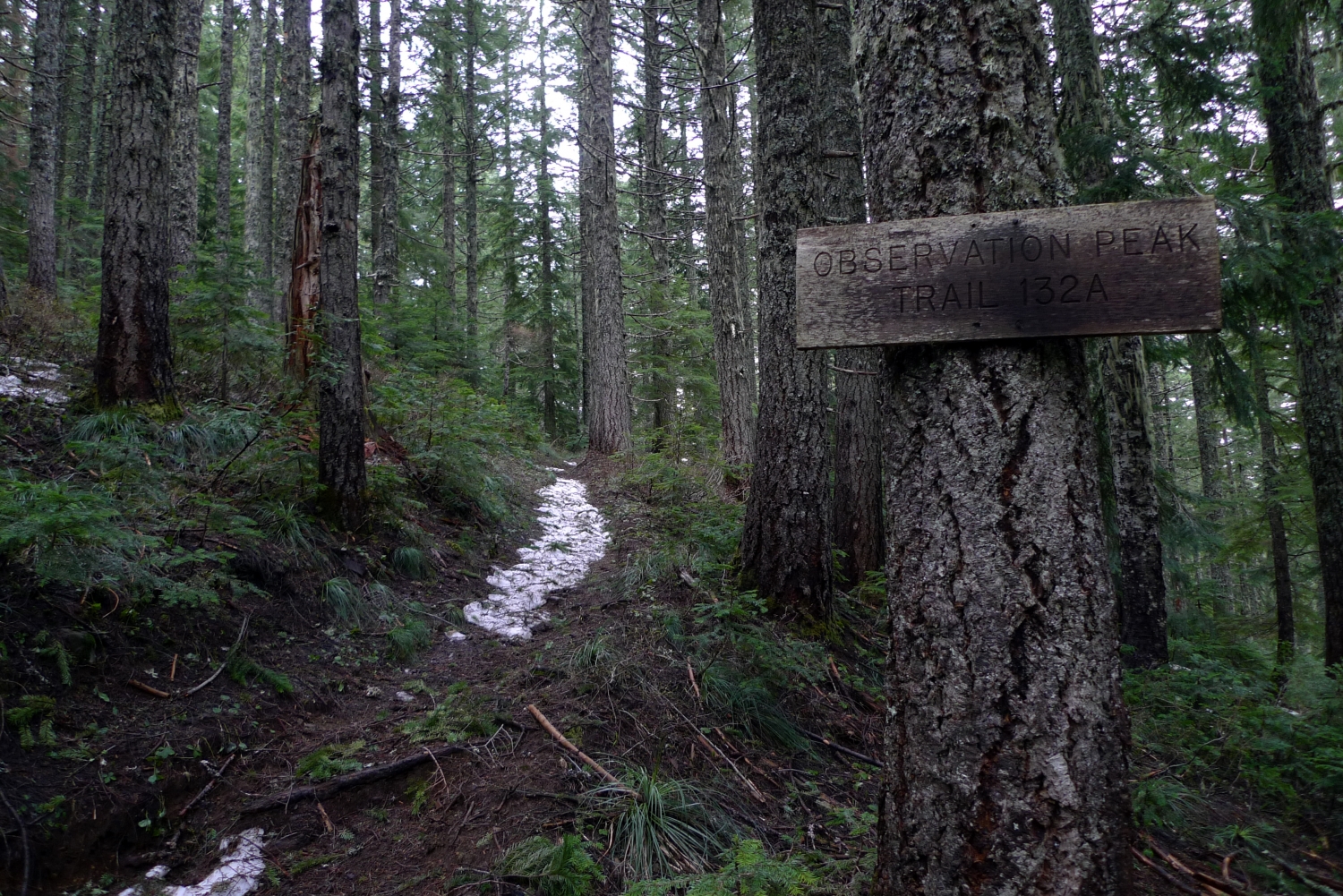
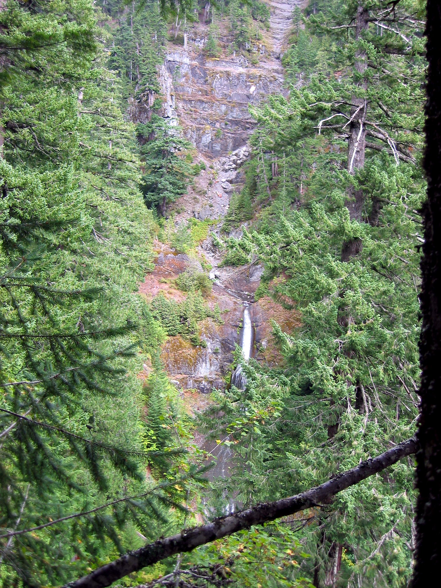
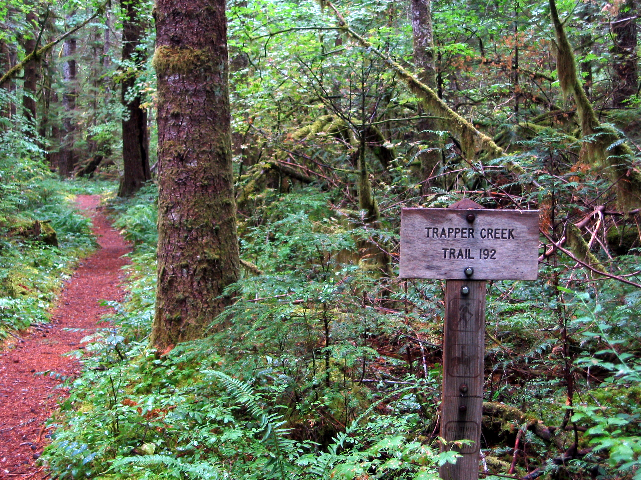
The loop route I took is well described in 60 trails in 60 miles (from Portland). Basically follow trail 192 from the trailhead all the way until it terminates at trail 132 (about 6 miles). Then turn right and follow that back until it terminates at 192 about a mile from the trailhead. The first 4 or so miles are generally climbing, but mostly small ups and downs, then some fairly steep switchback work to a nice view of Trapper Creek Falls. From there it is relatively gentle climbing to the saddle west of Observation peak. There is a small (unsigned) shortcut to the right soon after the signed turnoff for trail 202, that cuts off maybe a mile by joining 132 just as the spur trail goes up to the summit. 132 is a steady descent back to the valley floor, with ocassional views to either side.