Herman Creek
Low Point: 200'
High Point: 4064'
Season: Spring/Summer/Fall
Difficulty: 0/5
Directions
If you are traveling from Portland, take the Cascade Locks exit (exit 44) and drive the road all the way through town for several miles back towards I-84. Soon you will travel under the freeway to an intersection. Continue straight on the road towards Oxbow Fish Hatchery. Turn right after two miles at Herman Campground. If the gate at the entrance of the campground is open, drive to the far end of the campground to the trailhead. If the gate is closed, just park below the gate and walk up. For people coming from the east, take the Herman Creek exit (exit 47) towards the fish hatchery.Trail Description
If you would like to take the trail to Indian Point, take a left at a sign marked Gorton Creek Trail. This path continues for 2.6 miles at a fairly steep,but manageable grade. At 2.6 miles, you meet up with the Ridge Cutoff Trail. Continue straight for a short distance to an unmarked side trail to the left. This very steep and brushy trail leads down to Indian Point, which offers views of the Gorge, Mt. St. Helens, and Mt. Adams. Be careful on the ridge, because it is several thousand feet down! After enjoying the views, return back to the main trail, take a right, and take a left on the Ridge Cutoff Trail. Continue on this path for .6 miles to another fork, taking the trail on the right. This proceeds down the hill for a very, very steep two miles offering views of the Herman Creek Valley, the Gorge, and the very tip of Mt. Hood. The trail once again meets up with the old road. To return to the car, take a right and follow the road back to the access trail. If you have time to take in Herman Creek, take a left on the road.
Herman Creek:
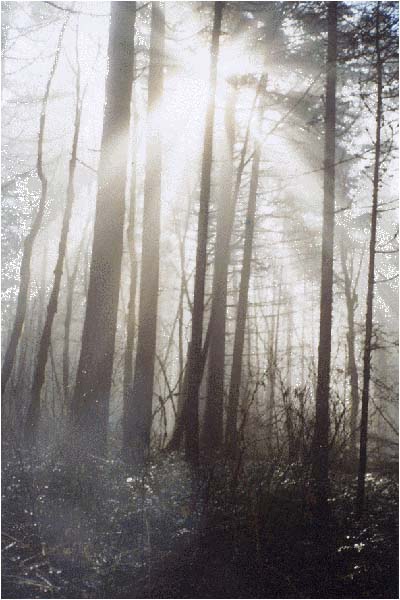
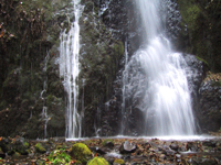
To experience the Herman Creek trail, continue on the road as it continues to narrow and soon becomes a regular trail. The trail does not exactly follow Herman Creek, but is very easily heard in the canyon below. The trail travels through a nice old-growth forest with several waterfalls right along the side of the trail. At 2.6 miles, the trail meets up with Casey Creek trail, and a side trail which leads steeply down to the unification of Herman Creek, and the East Fork of Herman Creek. Taking the Casey Creek trail will lead you to the top of Nick Eaton Ridge (4000 ft), and continuing straight will eventually lead you to Wahtum Lake.
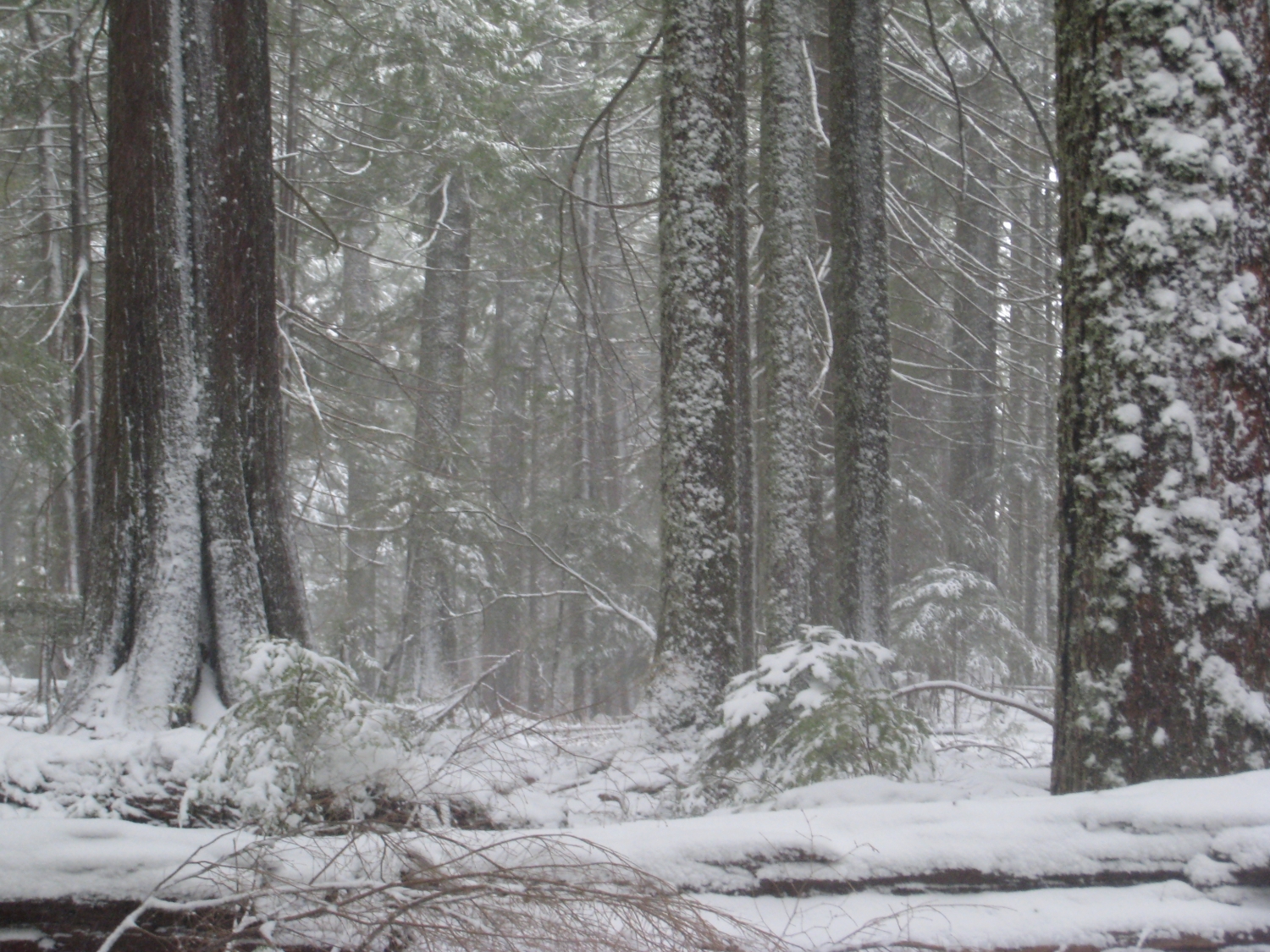
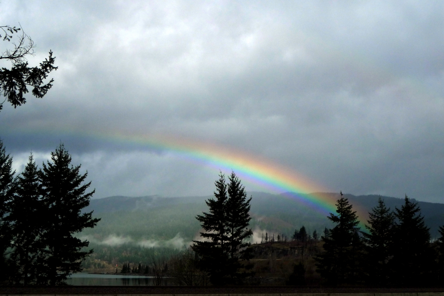
Because of the abundance of trails in this area, many different trips can be planned. During my mid-April hike there were quite a few different varieties of wildflowers. There was also quite a lot of snow on the surrounding mountains, giving it a real mountain atmosphere, but it was during an extra wet and cold year.